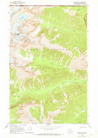
1969 Map of Mt Spickard
USGS Topo · Published 1973About this map
Mount Spickard dominates this high-altitude landscape along the international boundary, where the British Columbia Washington border meets the high crests of the North Cascades. Surveyed in the late 1960s, this area is defined by its dramatic relief and glacial features, including Silver Lake tucked beneath Custer Ridge. The drainage patterns of Little Beaver Creek and Perry Creek illustrate the formidable terrain that necessitated the use of a Pack Trail for navigation.
Find a feature on this map
19 named features on this map. Tap any name to fly to it.
Don’t see what you’re looking for? This feature index may not catch every label — zoom into the map to look around manually.
Map Details
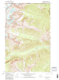
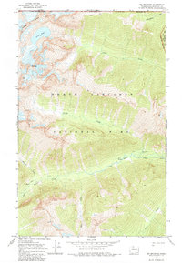
Editions of this 1969 Mt Spickard Map
3 editions found
Other maps of this area

1953 · Mt Challenger
USGS Topo · 1:62,500

1955 · Concrete
USGS Topo · 1:250,000

1958 · Concrete
USGS Topo · 1:250,000

1962 · Concrete
USGS Topo · 1:250,000

1969 · Mt Prophet
USGS Topo · 1:24,000
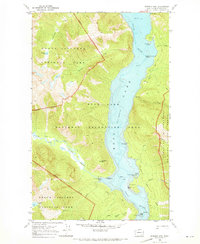
1969 · Pumpkin Mtn.
USGS Topo · 1:24,000
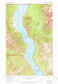
1969 · Hozomeen Mtn
USGS Topo · 1:24,000

1979 · Mt. Baker
USGS Topo · 1:100,000
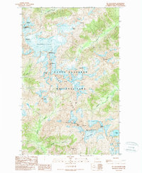
1989 · Mt Challenger
USGS Topo · 1:24,000
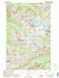
1989 · Mt Redoubt
USGS Topo · 1:24,000