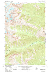
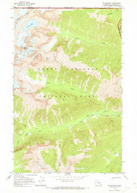
1969 Map of Mt Spickard
USGS Topo · Published 1984About this map
The North Cascades National Park straddles the international boundary in this 1969 field survey, showcasing the high-elevation terrain of Whatcom County. Dominating the northwest corner, Mount Spickard and Mount Rahm rise from the Custer Ridge, overlooking the high alpine waters of Silver Lake. The landscape is defined by its drainage systems, with Little Beaver Creek and its many tributaries, such as Perry Creek and Mist Creek, carving deep valleys through the mountain range.
Find a feature on this map
18 named features on this map. Tap any name to fly to it.
Don’t see what you’re looking for? This feature index may not catch every label — zoom into the map to look around manually.
Map Details
Editions of this 1969 Mt Spickard Map
3 editions found
Other maps of this area

1953 · Mt Challenger
USGS Topo · 1:62,500

1955 · Concrete
USGS Topo · 1:250,000

1958 · Concrete
USGS Topo · 1:250,000

1962 · Concrete
USGS Topo · 1:250,000

1969 · Mt Prophet
USGS Topo · 1:24,000
1969 · Pumpkin Mtn.
USGS Topo · 1:24,000
1969 · Hozomeen Mtn
USGS Topo · 1:24,000
1969 · Mt Spickard
USGS Topo · 1:24,000

1979 · Mt. Baker
USGS Topo · 1:100,000
1989 · Mt Challenger
USGS Topo · 1:24,000