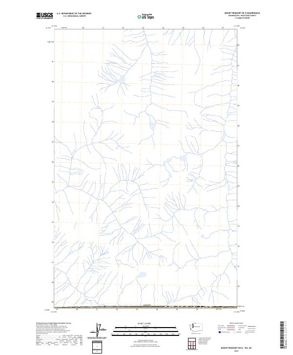
2023 Map of Mount Redoubt OE N
USGS Topo · Published 2023About this map
Canada defines the northern edge of this high-latitude terrain in Whatcom County, where the landscape is characterized by a dense network of glacial drainage. The area is defined by a series of steep, branching headwaters that feed into larger north-flowing systems. While no permanent settlements or road networks are noted on this specific sheet, the intricate hydrography recorded by the National Hydrography Dataset reflects a complex alpine watershed. This 2023 survey emphasizes the physical geography of the international boundary line, providing a precise record of the stream channels and natural contours that shape this part of the North Cascades region.
Find a feature on this map
1 named feature on this map. Tap any name to fly to it.
Don’t see what you’re looking for? This feature index may not catch every label — zoom into the map to look around manually.
Map Details
Editions of this 2023 Mount Redoubt OE N Map
This is the sole edition of this map. No revisions or reprints were ever made.
Other maps of this area

1953 · Mt Challenger
USGS Topo · 1:62,500

1955 · Concrete
USGS Topo · 1:250,000

1958 · Concrete
USGS Topo · 1:250,000

1962 · Concrete
USGS Topo · 1:250,000
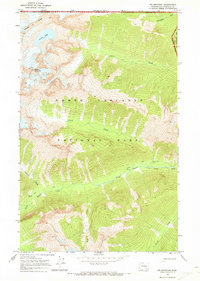
1969 · Mt Spickard
USGS Topo · 1:24,000

1979 · Mt. Baker
USGS Topo · 1:100,000
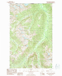
1989 · Copper Mountain
USGS Topo · 1:24,000
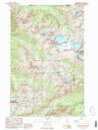
1989 · Mt Redoubt
USGS Topo · 1:24,000
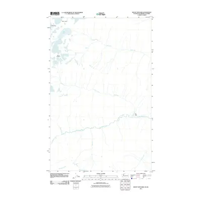
2011 · Mount Spickard
USGS Topo · 1:24,000
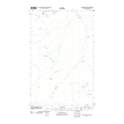
2011 · Copper Mountain
USGS Topo · 1:24,000