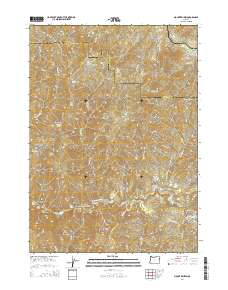
2014 Map of Mount Reuben
USGS Topo · Published 2014About this map
The Rogue River carves a dramatic path through the southern Oregon landscape along the border of Douglas and Josephine counties. This 2014 survey captures a terrain defined by steep elevations and a network of named gulches and springs that speak to the area's prospecting and forestry history. Water features are prominent throughout the quadrangle, from the turbulent waters of Grave Creek Falls and Rainie Falls to more quiet sources like One Joe Spring and Bear Spring. Landmarks such as Mount Reuben and Hungry Hill dominate the skyline, while the Grave Creek Bridge serves as a critical crossing point for the road network. The naming conventions, including Gold Bug Gulch, California Gulch, and China Gulch, provide a direct connection to the region's mining heritage and the ethnic diversity of early laborers in the Pacific Northwest.
Find a feature on this map
60 named features on this map. Tap any name to fly to it.
Don’t see what you’re looking for? This feature index may not catch every label — zoom into the map to look around manually.
Map Details
Editions of this 2014 Mount Reuben Map
This is the sole edition of this map. No revisions or reprints were ever made.
Other maps of this area
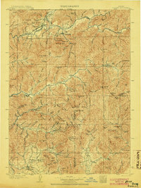
1904 · Riddle
USGS Topo · 1:125,000
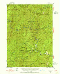
1946 · Galice
USGS Topo · 1:62,500
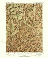
1946 · Dutchman Butte
USGS Topo · 1:62,500
1948 · Galice
USGS Topo · 1:62,500
1948 · Dutchman Butte
USGS Topo · 1:62,500
1954 · Glendale
USGS Topo · 1:62,500
1954 · Canyonville
USGS Topo · 1:62,500

1955 · Medford
USGS Topo · 1:250,000
1957 · Medford
USGS Topo · 1:250,000
1958 · Medford
USGS Topo · 1:250,000