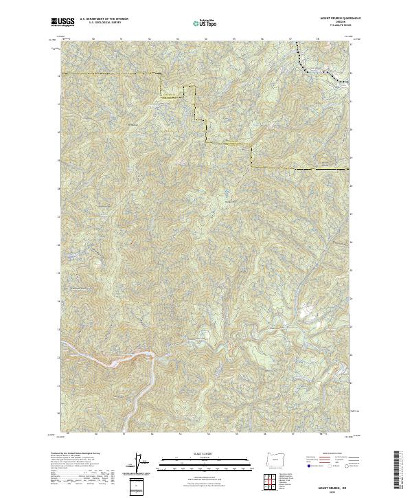
2023 Map of Mount Reuben
USGS Topo · Published 2023About this map
Mt Reuben and Hungry Hill dominate this section of the Klamath Mountains along the boundary of Josephine and Douglas Counties. The landscape is defined by a dense network of drainages and springs, including Bear Spring, Tibbet Spring, and Johnson Spring, which feed into major water bodies like Cow Creek and the Rogue River. In the southwest corner, the Rogue Wild and Scenic River corridor is accessible via the Rogue River National Recreation Trl, highlighting the region's protected natural character.
Find a feature on this map
59 named features on this map. Tap any name to fly to it.
Don’t see what you’re looking for? This feature index may not catch every label — zoom into the map to look around manually.
Map Details
Editions of this 2023 Mount Reuben Map
This is the sole edition of this map. No revisions or reprints were ever made.
Other maps of this area

1904 · Riddle
USGS Topo · 1:125,000

1946 · Galice
USGS Topo · 1:62,500

1946 · Dutchman Butte
USGS Topo · 1:62,500

1948 · Galice
USGS Topo · 1:62,500

1948 · Dutchman Butte
USGS Topo · 1:62,500

1954 · Glendale
USGS Topo · 1:62,500

1954 · Canyonville
USGS Topo · 1:62,500

1955 · Medford
USGS Topo · 1:250,000

1957 · Medford
USGS Topo · 1:250,000

1958 · Medford
USGS Topo · 1:250,000