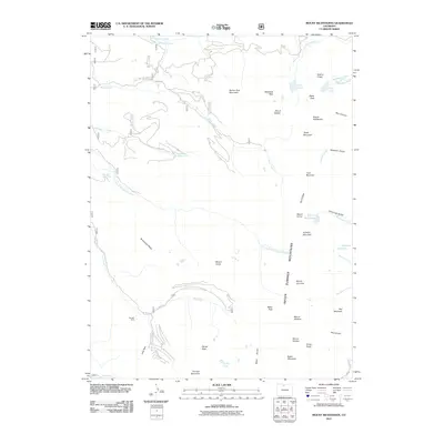
2011 Map of Mount Richthofen
USGS Topo · Published 2011About this map
Never Summer Mountains dominate this high-altitude landscape, where numerous peaks over 12,000 feet define the Continental Divide. The complex hydrology of the region is illustrated by human-engineered features like the Upper Michigan Ditch and the Grand Ditch, which redirect water across the rugged terrain. These waterworks contrast with the natural high-alpine basins holding Lake Agnes, Ranger Lakes, and the Lake of the Clouds. Local industry is represented by the Gaslight Mine situated near Jack Creek, suggesting the historical intersection of mineral extraction and recreation in the Colorado high country. The map also traces established routes through the peaks, including Baker Pass and several forest roads like Co RD 21f and Co RD 61a that provide access to the headwaters of the Michigan River.
Find a feature on this map
55 named features on this map. Tap any name to fly to it.
Don’t see what you’re looking for? This feature index may not catch every label — zoom into the map to look around manually.
Map Details
Editions of this 2011 Mount Richthofen Map
This is the sole edition of this map. No revisions or reprints were ever made.
Other maps of this area
1915 · Longs Peak
USGS Topo · 1:125,000
1916 · Home
USGS Topo · 1:125,000
1919 · Rocky Mountain National Park
USGS Topo · 1:125,000
1920 · Home
USGS Topo · 1:125,000
1954 · Greeley
USGS Topo · 1:250,000

1954 · Craig
USGS Topo · 1:250,000
1955 · Gould
USGS Topo · 1:24,000
1956 · Radial Mountain
USGS Topo · 1:24,000
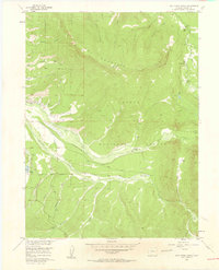
1956 · Jack Creek Ranch
USGS Topo · 1:24,000
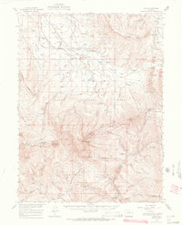
1956 · Rand
USGS Topo · 1:62,500