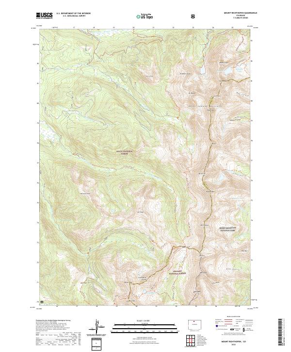
2022 Map of Mount Richthofen
USGS Topo · Published 2022About this map
The Continental Divide serves as the backbone of this high-altitude landscape where the headwaters of the Michigan River begin their descent. This 2022 survey documents a complex intersection of land management and hydrologic engineering at the border of Jackson and Grand counties. High alpine features like Nokhu Crags and Mt Richthofen dominate the skyline of the Never Summer Mountains, while the Grand Ditch represents a significant historical water diversion effort cut into the steep mountain slopes. The map traces a transition between three major protected areas: Routt National Forest, Arapaho National Forest, and Rocky Mountain National Park. Researchers can follow established routes such as the Never Summer Trl and Jack Creek Trl that link remote high-country basins like those containing Lake of the Clouds and Parika Lake.
Find a feature on this map
65 named features on this map. Tap any name to fly to it.
Don’t see what you’re looking for? This feature index may not catch every label — zoom into the map to look around manually.
Map Details
Editions of this 2022 Mount Richthofen Map
This is the sole edition of this map. No revisions or reprints were ever made.
Other maps of this area

1915 · Longs Peak
USGS Topo · 1:125,000

1916 · Home
USGS Topo · 1:125,000

1919 · Rocky Mountain National Park
USGS Topo · 1:125,000

1920 · Home
USGS Topo · 1:125,000

1954 · Greeley
USGS Topo · 1:250,000

1954 · Craig
USGS Topo · 1:250,000

1955 · Gould
USGS Topo · 1:24,000

1956 · Radial Mountain
USGS Topo · 1:24,000

1956 · Jack Creek Ranch
USGS Topo · 1:24,000

1956 · Rand
USGS Topo · 1:62,500