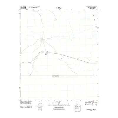
2010 Map of Mount Riley SE
USGS Topo · Published 2010About this map
The Chihuahuan Desert landscape of southern New Mexico meets the international border in this topographic survey. Centered on the prominence of Mount Riley, the terrain is defined by its arid-land infrastructure and remote ranching outposts. The presence of Cox Ranch and the Riley Black Standpipe, Mount highlights the critical role of water management in this high-desert environment, where isolated resources like Sand Tank and Border Tank serve as vital landmarks for navigation and land use.
Find a feature on this map
10 named features on this map. Tap any name to fly to it.
Don’t see what you’re looking for? This feature index may not catch every label — zoom into the map to look around manually.
Map Details
Editions of this 2010 Mount Riley SE Map
This is the sole edition of this map. No revisions or reprints were ever made.
Other maps of this area

1917 · Noria
USGS Topo · 1:62,500

1917 · Mt. Riley
USGS Topo · 1:62,500

1918 · Mt. Riley
USGS Topo · 1:62,500

1918 · Noria
USGS Topo · 1:62,500

1929 · Mt. Riley
USGS Topo · 1:62,500

1951 · Mt. Riley
USGS Topo · 1:62,500

1953 · El Paso
USGS Topo · 1:250,000

1959 · El Paso
USGS Topo · 1:250,000

1964 · El Paso
USGS Topo · 1:250,000

1965 · El Paso
USGS Topo · 1:250,000