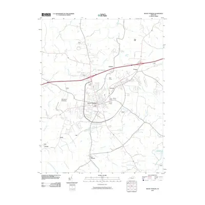
2010 Map of Mount Sterling
USGS Topo · Published 2010About this map
Mount Sterling serves as the focal point of this 2010 landscape, situated at a junction of regional commerce and historical significance. The map highlights the Old Indian Battle Ground to the north of the city, a poignant reminder of early frontier history. Surrounding the city, a network of smaller communities such as Smithville, Ewington, and Rosedale illustrate the continued suburban and rural residential patterns of Montgomery County.
Find a feature on this map
54 named features on this map. Tap any name to fly to it.
Don’t see what you’re looking for? This feature index may not catch every label — zoom into the map to look around manually.
Map Details
Editions of this 2010 Mount Sterling Map
This is the sole edition of this map. No revisions or reprints were ever made.
Other maps of this area

1892 · Richmond
USGS Topo · 1:125,000

1892 · Beattyville
USGS Topo · 1:125,000

1897 · Richmond
USGS Topo · 1:125,000

1950 · Levee
USGS Topo · 1:24,000

1952 · Preston
USGS Topo · 1:24,000

1952 · Owingsville
USGS Topo · 1:24,000

1952 · Sharpsburg
USGS Topo · 1:24,000

1952 · Mount Sterling
USGS Topo · 1:24,000

1952 · North Middletown
USGS Topo · 1:24,000

1952 · Means
USGS Topo · 1:24,000