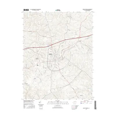
2016 Map of Mount Sterling
USGS Topo · Published 2016About this map
Mount Sterling serves as the central hub of this Montgomery County landscape, where the street grid of the historic core meets the expanding residential developments of Reid Village and the industrial corridors of Paris Pike. The map illustrates a community anchored by tradition and infrastructure, featuring numerous family and church burial grounds such as Machpelah Cem and the Saint Thomas Cem near the town center. The outlying areas transition into a rolling agrarian network defined by the winding course of Hinkston Cr and its many tributaries.
Find a feature on this map
102 named features on this map. Tap any name to fly to it.
Don’t see what you’re looking for? This feature index may not catch every label — zoom into the map to look around manually.
Map Details
Editions of this 2016 Mount Sterling Map
This is the sole edition of this map. No revisions or reprints were ever made.
Other maps of this area

1892 · Richmond
USGS Topo · 1:125,000

1892 · Beattyville
USGS Topo · 1:125,000

1897 · Richmond
USGS Topo · 1:125,000

1950 · Levee
USGS Topo · 1:24,000

1952 · Preston
USGS Topo · 1:24,000

1952 · Owingsville
USGS Topo · 1:24,000

1952 · Sharpsburg
USGS Topo · 1:24,000

1952 · Mount Sterling
USGS Topo · 1:24,000

1952 · North Middletown
USGS Topo · 1:24,000

1952 · Means
USGS Topo · 1:24,000