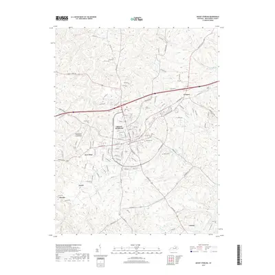
2019 Map of Mount Sterling
USGS Topo · Published 2019About this map
Mount Sterling serves as the central hub of this Montgomery County landscape, where the confluence of several key waterways like Hinkston Cr and Stepstone Cr shaped early settlement patterns. This 2019 survey captures the community as it manages a balance between modern infrastructure, including the Mount Sterling-Montgomery County Airport, and its deep genealogical roots. Numerous family and community burial sites are documented throughout the hills, from the large Machpelah Cem near the town center to the more remote O'Rear Cem and Cravens Cem.
Find a feature on this map
119 named features on this map. Tap any name to fly to it.
Don’t see what you’re looking for? This feature index may not catch every label — zoom into the map to look around manually.
Map Details
Editions of this 2019 Mount Sterling Map
This is the sole edition of this map. No revisions or reprints were ever made.
Other maps of this area

1892 · Richmond
USGS Topo · 1:125,000

1892 · Beattyville
USGS Topo · 1:125,000

1897 · Richmond
USGS Topo · 1:125,000

1950 · Levee
USGS Topo · 1:24,000

1952 · Preston
USGS Topo · 1:24,000

1952 · Owingsville
USGS Topo · 1:24,000

1952 · Sharpsburg
USGS Topo · 1:24,000

1952 · Mount Sterling
USGS Topo · 1:24,000

1952 · North Middletown
USGS Topo · 1:24,000

1952 · Means
USGS Topo · 1:24,000