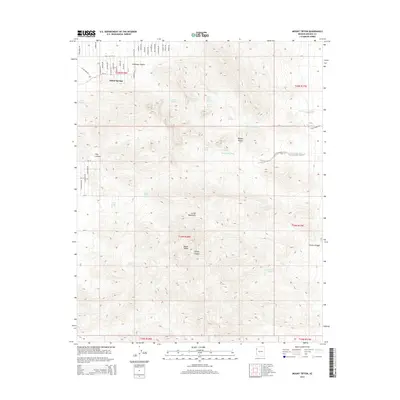
2014 Map of Mount Tipton
USGS Topo · Published 2014About this map
Mount Tipton rises as the central landmark of the Cerbat Mountains in this high-desert region of Mohave County. The 2014 survey documents the residential development of Dolan Springs in the northwest, where a dense grid of named streets such as Navajo Dr and Mt Tipton Dr meets the alluvial fans of the range. This area is defined by a reliance on scattered water sources, with several vital points like Grapevine Spring, Ash Creek Spring, and Cottonwood Spring tucked into the steep drainages.
Find a feature on this map
56 named features on this map. Tap any name to fly to it.
Don’t see what you’re looking for? This feature index may not catch every label — zoom into the map to look around manually.
Map Details
Editions of this 2014 Mount Tipton Map
This is the sole edition of this map. No revisions or reprints were ever made.
Other maps of this area
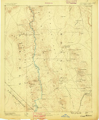
1886 · Camp Mohave
USGS Topo · 1:250,000
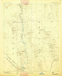
1892 · Camp Mohave
USGS Topo · 1:250,000
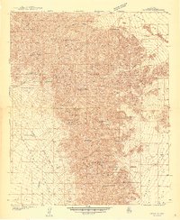
1939 · Chloride
USGS Topo · 1:48,000
1942 · Camp Mohave
USGS Topo · 1:250,000
1944 · Chloride
USGS Topo · 1:62,500

1947 · Kingman
USGS Topo · 1:250,000

1948 · Kingman
USGS Topo · 1:250,000

1954 · Kingman
USGS Topo · 1:250,000

1955 · Kingman
USGS Topo · 1:250,000
1958 · Kingman
USGS Topo · 1:250,000