
2020 Map of Mount Townsend
USGS Topo · Published 2020About this map
Mt. Townsend dominates the high alpine terrain of this 2020 topographic survey, straddling the boundary between Clallam and Jefferson counties. The landscape is defined by the protected wilderness of the Olympic National Forest and a western portion of the Olympic National Park. The Pacific NW National Scenic Trail traverses the western ridges, passing through Tull Canyon and near the high peaks of Buckhorn Mtn and Iron Mtn. Water drainage is central to the area's geography, with the Big Quilcene River and its tributaries like Tunnel Creek carving deep valleys between the summits. High-elevation water bodies, including Silver Lake, Harrison Lake, and Buckhorn Lake, offer specific points of interest for those studying the remote hydrography of the Olympic Peninsula.
Find a feature on this map
39 named features on this map. Tap any name to fly to it.
Don’t see what you’re looking for? This feature index may not catch every label — zoom into the map to look around manually.
Map Details
Editions of this 2020 Mount Townsend Map
This is the sole edition of this map. No revisions or reprints were ever made.
Other maps of this area
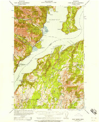
1936 · Point Misery
USGS Topo · 1:62,500
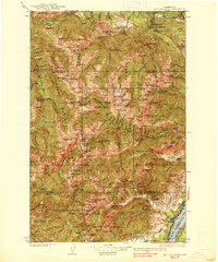
1938 · Mt Constance
USGS Topo · 1:125,000
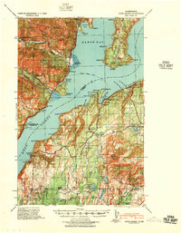
1940 · Point Misery
USGS Topo · 1:62,500
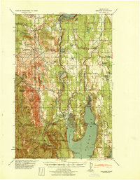
1940 · Quilcene
USGS Topo · 1:62,500
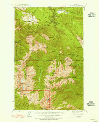
1946 · Tyler Peak
USGS Topo · 1:62,500
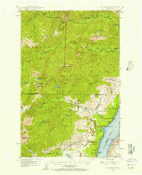
1947 · The Brothers
USGS Topo · 1:62,500
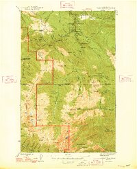
1948 · Tyler Peak
USGS Topo · 1:62,500
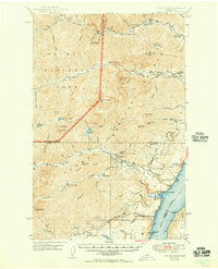
1950 · The Brothers
USGS Topo · 1:62,500
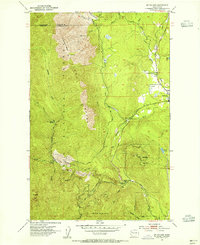
1953 · Mt. Walker
USGS Topo · 1:24,000
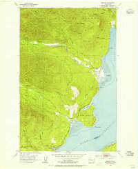
1953 · Brinnon
USGS Topo · 1:24,000