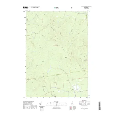
2021 Map of Mount Tripyramid
USGS Topo · Published 2021About this map
White Mountain National Forest dominates this topographic survey, centered on the high peaks of the Sandwich Range. The map documents a complex network of hiking and cross-country trails that define modern access to these heights, including the Tripyramid Loop Trl and the McCrillis Path Trl. In the north, the terrain drops toward the Swift River near Albany Intervale, while the southern reaches descend toward the small settlement at Whiteface Intervale.
Find a feature on this map
78 named features on this map. Tap any name to fly to it.
Don’t see what you’re looking for? This feature index may not catch every label — zoom into the map to look around manually.
Map Details
Editions of this 2021 Mount Tripyramid Map
This is the sole edition of this map. No revisions or reprints were ever made.
Other maps of this area

1895 · Crawford Notch
USGS Topo · 1:62,500

1896 · Crawford Notch
USGS Topo · 1:62,500

1928 · Plymouth
USGS Topo · 1:62,500

1929 · Franconia
USGS Topo · 1:62,500

1931 · Plymouth
USGS Topo · 1:62,500

1931 · Mt. Chocorua
USGS Topo · 1:62,500

1932 · Franconia
USGS Topo · 1:62,500

1946 · Crawford Notch
USGS Topo · 1:62,500

1949 · Portland
USGS Topo · 1:250,000
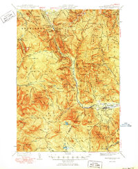
1950 · Crawford Notch
USGS Topo · 1:62,500