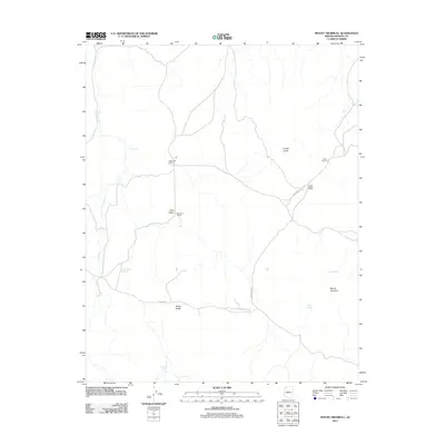
2011 Map of Mount Trumbull
USGS Topo · Published 2011About this map
Kenworthy Ranch and Marshall Ranch sit at the center of this high-desert landscape in Mohave County, where life revolves around isolated ranching outposts and scattered water sources. This 2011 survey illustrates a region defined by its hydrography and topography, from the drainage of Langs Run in the west to the significant elevation of Mount Trumbull in the east. The map documents a network of critical watering points such as Crosby Tank Reservoir, Nixon Spring, and Sawmill Tank, which sustain the cattle operations in this arid environment. The transition from Sink Valley to Potato Valley highlights the distinct basins that characterize the local geography, connected by the unpaved corridor of Craig Ranch Rd and the more established CO Hwy 5.
Find a feature on this map
17 named features on this map. Tap any name to fly to it.
Don’t see what you’re looking for? This feature index may not catch every label — zoom into the map to look around manually.
Map Details
Editions of this 2011 Mount Trumbull Map
This is the sole edition of this map. No revisions or reprints were ever made.
Other maps of this area
1886 · Mt. Trumbull
USGS Topo · 1:250,000
1892 · Mt. Trumbull
USGS Topo · 1:250,000

1953 · Grand Canyon
USGS Topo · 1:250,000

1957 · Grand Canyon
USGS Topo · 1:250,000

1958 · Grand Canyon
USGS Topo · 1:250,000
1960 · Grand Canyon
USGS Topo · 1:250,000
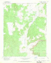
1967 · Mt. Trumbull NE
USGS Topo · 1:24,000
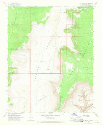
1967 · Mt. Trumbull SE
USGS Topo · 1:24,000
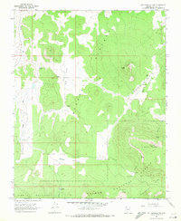
1967 · Mt. Trumbull NW
USGS Topo · 1:24,000
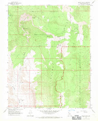
1967 · Mount Logan
USGS Topo · 1:24,000