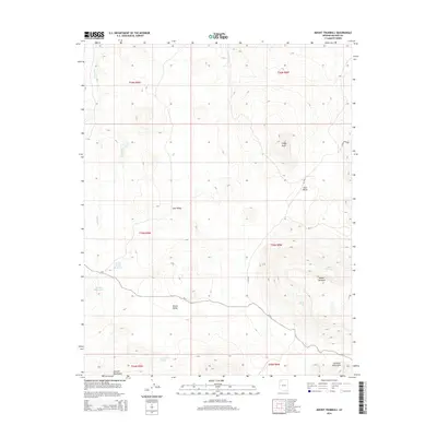
2014 Map of Mount Trumbull
USGS Topo · Published 2014About this map
Mount Trumbull dominates this high-altitude landscape of the Uinkaret Mountains, where water management is the primary signature of human presence. In this arid reach of Mohave County, the topography is defined by a series of significant basins including Potato Valley, Sink Valley, and Lake Valley. The reliance on seasonal and subterranean water sources is evident through the naming of critical infrastructure such as Crosby Reservoir, Crosby Tank, and Sawmill Tank, alongside natural outlets like Coyote Spring and Nixon Spring. The road network, consisting of CR-5, CR-717, and CR-1530, skirts the lower elevations and connects these vital water points across the mountain flanks. To the southwest, the Sawmill Mountains rise as a distinct geological feature, framing a terrain shaped by drainage patterns like Langs Run and the prominent volcanic profile of Craigs Knoll.
Find a feature on this map
23 named features on this map. Tap any name to fly to it.
Don’t see what you’re looking for? This feature index may not catch every label — zoom into the map to look around manually.
Map Details
Editions of this 2014 Mount Trumbull Map
This is the sole edition of this map. No revisions or reprints were ever made.
Other maps of this area
1886 · Mt. Trumbull
USGS Topo · 1:250,000
1892 · Mt. Trumbull
USGS Topo · 1:250,000

1953 · Grand Canyon
USGS Topo · 1:250,000

1957 · Grand Canyon
USGS Topo · 1:250,000

1958 · Grand Canyon
USGS Topo · 1:250,000
1960 · Grand Canyon
USGS Topo · 1:250,000
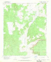
1967 · Mt. Trumbull NE
USGS Topo · 1:24,000
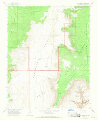
1967 · Mt. Trumbull SE
USGS Topo · 1:24,000
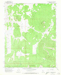
1967 · Mt. Trumbull NW
USGS Topo · 1:24,000
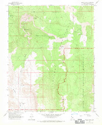
1967 · Mount Logan
USGS Topo · 1:24,000