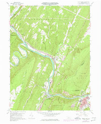
1959 Map of Mount Union
USGS Topo · Published 1977About this map
The Juniata River carves a path through central Pennsylvania's ridge-and-valley province, most notably at the dramatic water gap known as Jacks Narrows. This mid-century survey documents the industrial and residential concentration at Mount Union and Mapleton Depot, where the Penn Central railroad tracks parallel the river's course. The landscape is defined by the sharp verticality of Jacks Mountain and Sideling Hill, which hem in settlements like Mill Creek and Cedar Crest.
Find a feature on this map
68 named features on this map. Tap any name to fly to it.
Don’t see what you’re looking for? This feature index may not catch every label — zoom into the map to look around manually.
Map Details
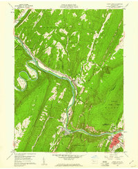
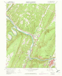
Editions of this 1959 Mount Union Map
Other maps of this area

1901 · Huntingdon
USGS Topo · 1:62,500

1904 · Huntingdon
USGS Topo · 1:62,500

1919 · Menno
USGS Topo · 1:62,500

1922 · Mt Union
USGS Topo · 1:48,000

1923 · Tyrone
USGS Topo · 1:62,500

1924 · Mt. Union
USGS Topo · 1:62,500

1929 · Tyrone
USGS Topo · 1:48,000

1933 · Tyrone
USGS Topo · 1:62,500

1935 · Allensville
USGS Topo · 1:62,500

1938 · Allensville
USGS Topo · 1:62,500