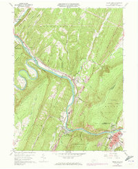
1959 Map of Mount Union
USGS Topo · Published 1973About this map
The Juniata River and its major tributaries, including the Raystown Branch Juniata River, dominate this landscape where the water gaps cut through the ridges of central Pennsylvania. The industrial and transportation corridor is clearly defined by the Penn Central railroad lines and the concentration of settlements like Mount Union and Mapleton (Mapleton Depot PO). Significant local history is visible in the numerous burial grounds and religious sites, such as the Old White Church Cem and Calvary Ch. The terrain transitions from the developed river valley to the protected elevations of Tuscarora State Forest and State Game Lands No 71. The map also details small unincorporated communities like Ardenheim, Mill Creek, and Birdville, providing a look at the rural settlement patterns before later 20th-century developments altered the valley.
Find a feature on this map
47 named features on this map. Tap any name to fly to it.
Don’t see what you’re looking for? This feature index may not catch every label — zoom into the map to look around manually.
Map Details
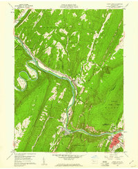
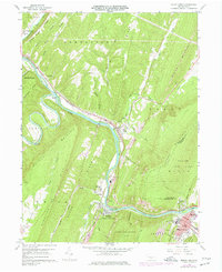
Editions of this 1959 Mount Union Map
Other maps of this area

1901 · Huntingdon
USGS Topo · 1:62,500

1904 · Huntingdon
USGS Topo · 1:62,500

1919 · Menno
USGS Topo · 1:62,500

1922 · Mt Union
USGS Topo · 1:48,000

1923 · Tyrone
USGS Topo · 1:62,500

1924 · Mt. Union
USGS Topo · 1:62,500

1929 · Tyrone
USGS Topo · 1:48,000

1933 · Tyrone
USGS Topo · 1:62,500

1935 · Allensville
USGS Topo · 1:62,500

1938 · Allensville
USGS Topo · 1:62,500