Loading...
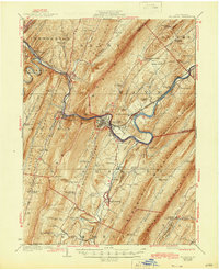
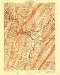
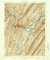
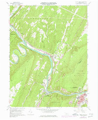
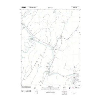
Loading map...1924 Map of Mount Union
USGS Topo · Published 1944About this map
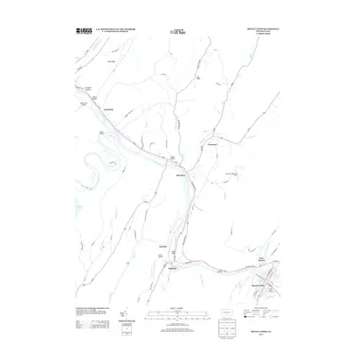
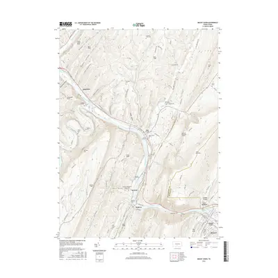
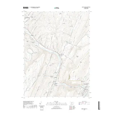
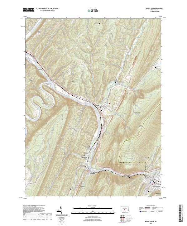
The Juniata River carves a winding path through the heart of this landscape, flanked by the prominent ridges of Jack Mountain and Blue Mountain. In the early 1920s, this region of central Pennsylvania was defined by the industrial and transport corridor established by the Pennsylvania Railroad and the William Penn Highway. The town of Mount Union serves as a primary hub, situated where the river loops through the valley gap.
Find a feature on this map
120 named features on this map. Tap any name to fly to it.
Don’t see what you’re looking for? This feature index may not catch every label — zoom into the map to look around manually.
Map Details
Date Portrayed1924
Date Published1944
PublisherU.S. Geological Survey
Map TypeTopographic
Scale1:62,500
Physical Dimensions17 x 21 inches
Editions of this 1924 Mount Union Map
4 editions found

Historical Maps of Huntingdon Through Time
7 maps found
Featured Locations
Source Details
SourceU.S. Geological Survey
CopyrightPublic Domain