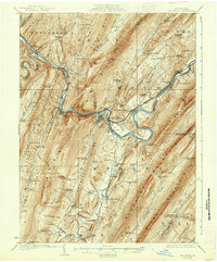
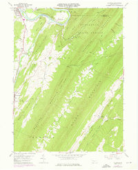
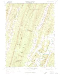
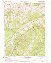
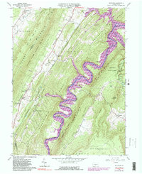
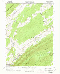
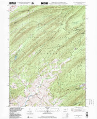
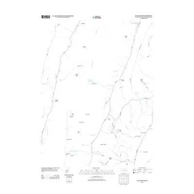
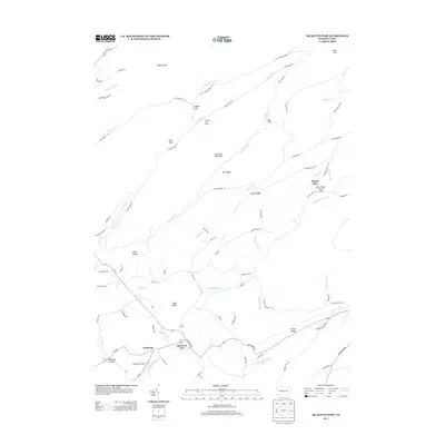
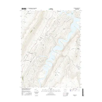
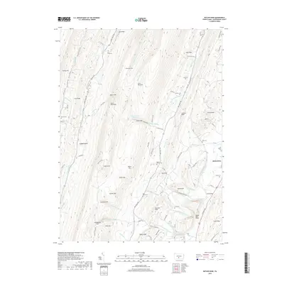
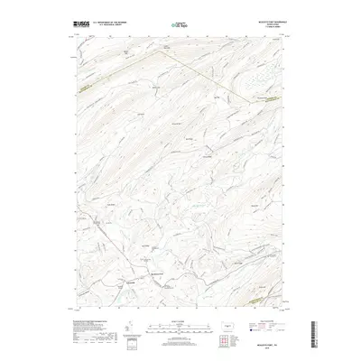
1924 Map of Mt. Union
USGS Topo · Published 1937About this map
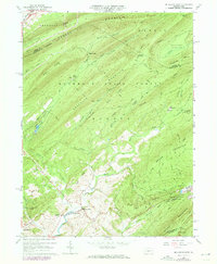
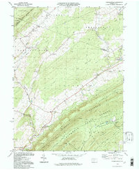
Juniata River meanders through a landscape defined by the sharp, parallel ridges of the central Pennsylvania Appalachians, including Jacks Mountain and Shade Mountain. During the 1920s, the industrial footprint of the region is evident at the Lucy Furnace and the busy Pennsylvania RR corridor that follows the river's winding path through Mount Union and Mapleton Depot.
Find a feature on this map
106 named features on this map. Tap any name to fly to it.
Don’t see what you’re looking for? This feature index may not catch every label — zoom into the map to look around manually.
Map Details
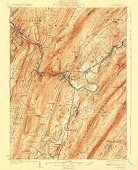
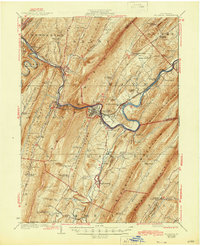
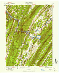
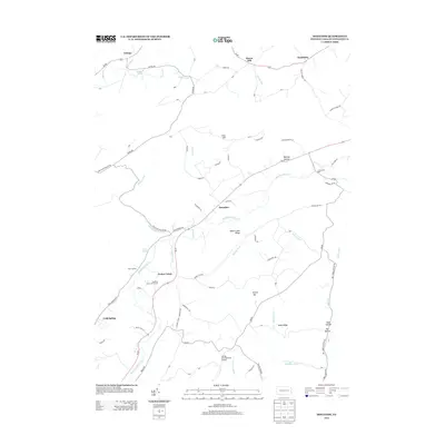
Editions of this 1924 Mt. Union Map
4 editions found

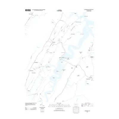
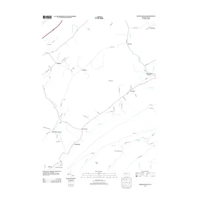
Historical Maps of Huntingdon Through Time
42 maps found

1919 Menno
Huntingdon County, PA
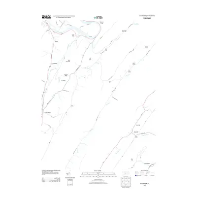
1922 Mt. Union
Huntingdon County, PA

1944 Mt. Union
Huntingdon County, PA
1959 Aughwick
Huntingdon County, PA
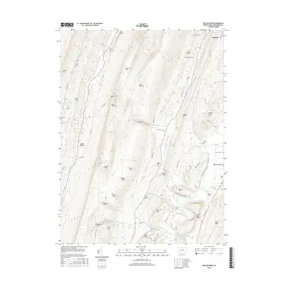
1959 Butler Knob
Huntingdon County, PA
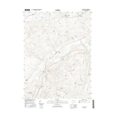
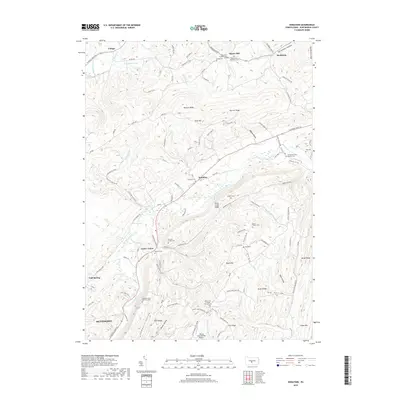
1963 Donation
Huntingdon County, PA
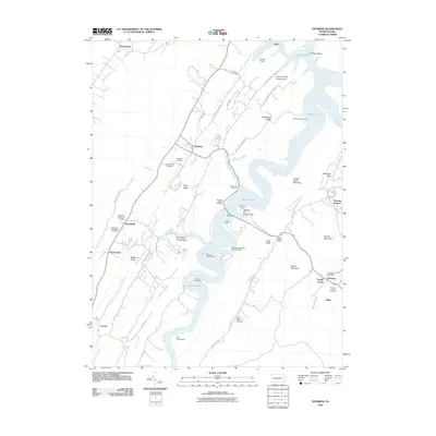
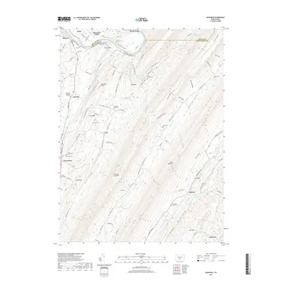
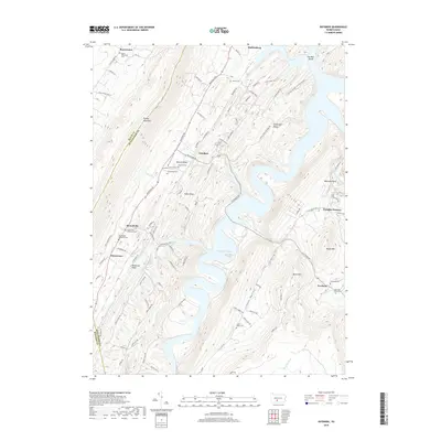
1963 Entriken
Huntingdon County, PA
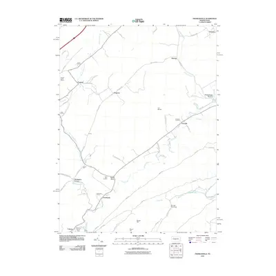
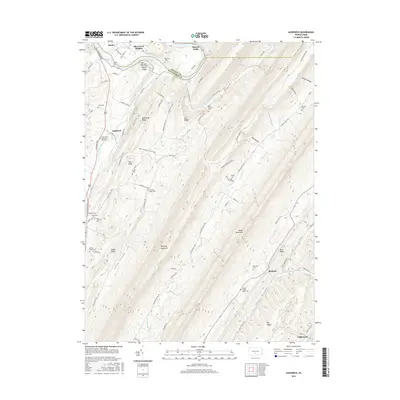
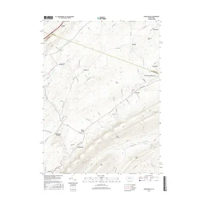
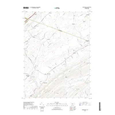
1963 Franklinville
Huntingdon County, PA
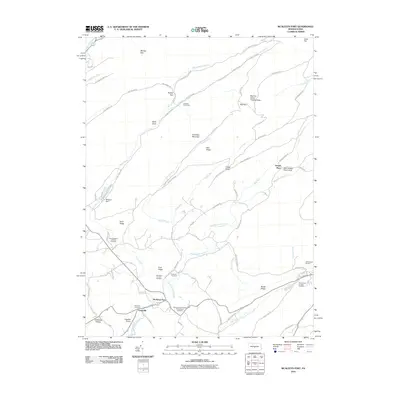
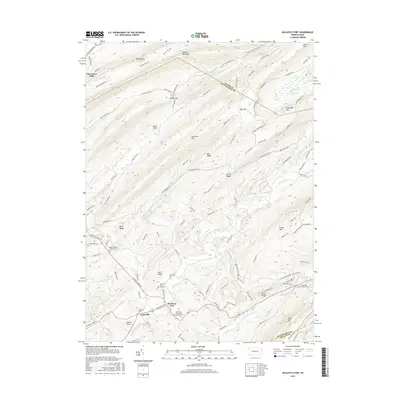
1963 Mc Alevys Fort
Huntingdon County, PA
1977 Mc Alevys Fort
Huntingdon County, PA
1994 Franklinville
Huntingdon County, PA
1998 Mc Alevys Fort
Huntingdon County, PA
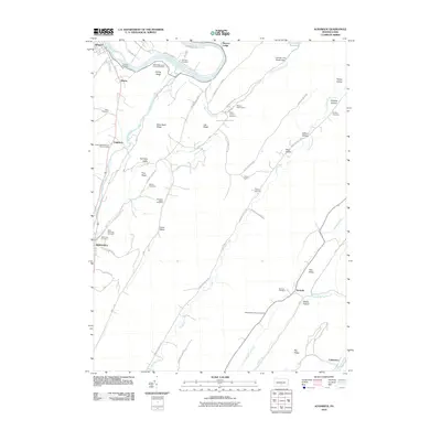
2010 Aughwick
Huntingdon County, PA
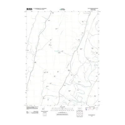
2010 Butler Knob
Huntingdon County, PA
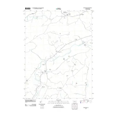
2010 Donation
Huntingdon County, PA
2010 Entriken
Huntingdon County, PA
2010 Franklinville
Huntingdon County, PA
2010 McAlevys Fort
Huntingdon County, PA
2013 Aughwick
Huntingdon County, PA
2013 Butler Knob
Huntingdon County, PA
2013 Donation
Huntingdon County, PA
2013 Entriken
Huntingdon County, PA
2013 Franklinville
Huntingdon County, PA
2013 McAlevys Fort
Huntingdon County, PA
2016 Aughwick
Huntingdon County, PA
2016 Butler Knob
Huntingdon County, PA
2016 Donation
Huntingdon County, PA
2016 Entriken
Huntingdon County, PA
2016 Franklinville
Huntingdon County, PA
2016 McAlevys Fort
Huntingdon County, PA
2019 Aughwick
Huntingdon County, PA
2019 Butler Knob
Huntingdon County, PA
2019 Donation
Huntingdon County, PA
2019 Entriken
Huntingdon County, PA
2019 Franklinville
Huntingdon County, PA
2019 McAlevys Fort
Huntingdon County, PA
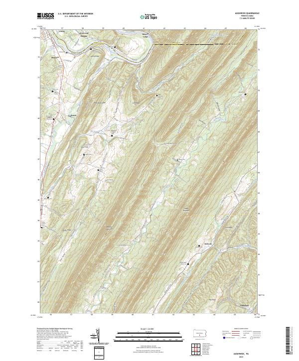
2023 Aughwick
Huntingdon County, PA
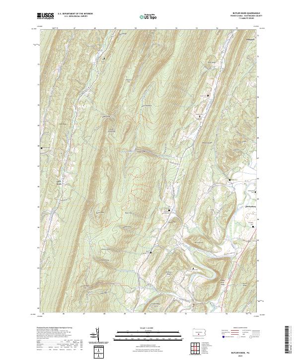
2023 Butler Knob
Huntingdon County, PA
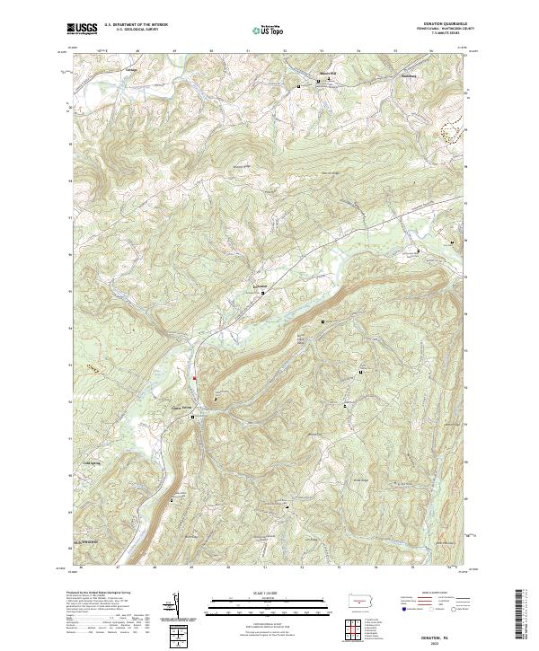
2023 Donation
Huntingdon County, PA
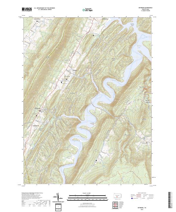
2023 Entriken
Huntingdon County, PA
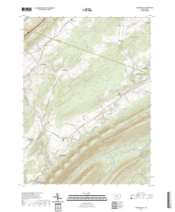
2023 Franklinville
Huntingdon County, PA
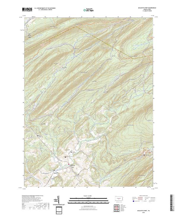
2023 McAlevys Fort
Huntingdon County, PA