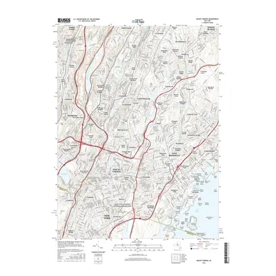
2016 Map of Mount Vernon
USGS Topo · Published 2016About this map
Saint Paul's Church National Historic Site stands as a focal point in a densely developed landscape where Westchester County meets the Bronx. The area is defined by its complex network of parkways, including the Bronx River Pkwy and New England Thruway, which weave through historic residential enclaves from Scarsdale to New Rochelle. This survey highlights the significant role of educational and religious institutions, featuring Saint Josephs Seminary and Coll and several prominent colleges.
Find a feature on this map
172 named features on this map. Tap any name to fly to it.
Don’t see what you’re looking for? This feature index may not catch every label — zoom into the map to look around manually.
Map Details
Editions of this 2016 Mount Vernon Map
This is the sole edition of this map. No revisions or reprints were ever made.
Other maps of this area

1891 · Harlem
USGS Topo · 1:62,500

1892 · Stamford
USGS Topo · 1:62,500

1892 · Tarrytown
USGS Topo · 1:62,500

1893 · Stamford
USGS Topo · 1:62,500

1893 · Tarrytown
USGS Topo · 1:62,500

1897 · Harlem
USGS Topo · 1:62,500

1897 · Oyster Bay
USGS Topo · 1:62,500

1898 · Harlem
USGS Topo · 1:62,500

1898 · Oyster Bay
USGS Topo · 1:62,500

1899 · Stamford
USGS Topo · 1:62,500