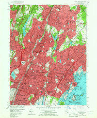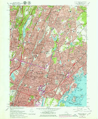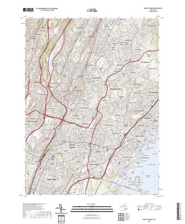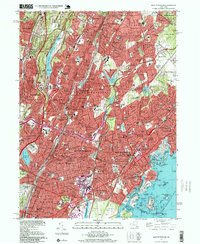
1995 Map of Mount Vernon
USGS Topo · Published 1999About this map
St Pauls Church (Nat Historic Site) stands as a landmark of colonial significance in a landscape increasingly defined by the suburban expansion of the late twentieth century. This detailed survey of southern Westchester County and the northern Bronx illustrates the intricate network of parkways, such as the Sprain Brook Parkway and Cross County Parkway, that knit together the established cities of Yonkers, Mount Vernon, and New Rochelle. The map captures a dense collection of Catholic schools and academies, including St Clares Academy and St Josephs Seminary, which alongside the Wartburg Orphanage, reflect the strong institutional and religious heritage of these communities.
Find a feature on this map
224 named features on this map. Tap any name to fly to it.
Don’t see what you’re looking for? This feature index may not catch every label — zoom into the map to look around manually.
Map Details
Editions of this 1995 Mount Vernon Map
This is the sole edition of this map. No revisions or reprints were ever made.
Historical Maps of White Plains Through Time
4 maps found