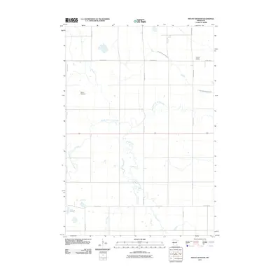
2010 Map of Mount Wickham
USGS Topo · Published 2010About this map
Mount Wickham rises above a landscape defined by its essential water management and drainage systems in western Minnesota. This terrain is characterized by the winding path of the West Branch Lac qui Parle River, which is supported by several smaller tributaries including Florida Creek, Lost Creek, and Cobb Creek. The agricultural character of the region is evident through the naming of localized infrastructure, such as County Ditch Number Seventeen, which channelizes water across the prairie to support farming. For those researching local heritage, the Frontenac Lutheran Cemetery stands as a focal point of community history in the northeastern portion of the quadrangle. The map also records low-lying wetland features like Bolland Slough, illustrating the natural hydrology that persisted alongside the grid of county highways.
Find a feature on this map
15 named features on this map. Tap any name to fly to it.
Don’t see what you’re looking for? This feature index may not catch every label — zoom into the map to look around manually.
Map Details
Editions of this 2010 Mount Wickham Map
This is the sole edition of this map. No revisions or reprints were ever made.
Other maps of this area

1953 · Bellingham
USGS Topo · 1:62,500

1953 · Milbank
USGS Topo · 1:250,000

1953 · Watertown
USGS Topo · 1:250,000

1958 · Milbank
USGS Topo · 1:250,000

1958 · Watertown
USGS Topo · 1:250,000

1958 · Madison
USGS Topo · 1:24,000

1967 · Dawson SW
USGS Topo · 1:24,000

1967 · Gary
USGS Topo · 1:24,000

1967 · Gary SE
USGS Topo · 1:24,000

1967 · Gary NW
USGS Topo · 1:24,000