
1967 Map of Gary SE
USGS Topo · Published 1968About this map
Florida Creek and Antelope Creek meander through the prairie landscape of western Minnesota in this late 1960s survey. The map document spans the boundary of Lac qui Parle and Yellow Medicine Counties, capturing a rural landscape organized by the township system of Manfred, Freeland, Florida, and Hammer. The distribution of farmsteads is punctuated by local community landmarks, including the Bethlehem Cem and Florida Ch.
Find a feature on this map
15 named features on this map. Tap any name to fly to it.
Don’t see what you’re looking for? This feature index may not catch every label — zoom into the map to look around manually.
Map Details
Editions of this 1967 Gary SE Map
This is the sole edition of this map. No revisions or reprints were ever made.
Other maps of this area

1953 · Watertown
USGS Topo · 1:250,000

1958 · Watertown
USGS Topo · 1:250,000

1967 · Canby
USGS Topo · 1:24,000

1967 · Dawson SW
USGS Topo · 1:24,000

1967 · Gary
USGS Topo · 1:24,000

1967 · Canby NW
USGS Topo · 1:24,000

1967 · Porter
USGS Topo · 1:24,000

1967 · Gary NW
USGS Topo · 1:24,000
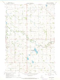
1967 · Dawson NW
USGS Topo · 1:24,000
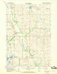
1967 · Mount Wickham
USGS Topo · 1:24,000