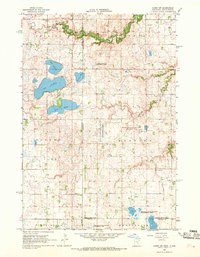
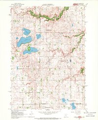
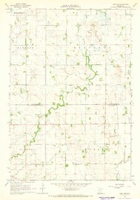
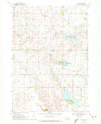
1967 Map of Canby NW
USGS Topo · Published 1968About this map
Florida Creek meanders through the northern reaches of this prairie landscape, marking a terrain defined by glacial lakes and wetlands along the Minnesota-South Dakota border. The area is organized into distinct townships including Herrick, Norden, Fortier, and Hansonville, reflecting the early administrative divisions of Yellow Medicine and Lincoln counties. This 1960s survey illustrates a rural environment increasingly dedicated to conservation, evidenced by numerous managed zones such as the Sioux Nation State Wildlife Management Area and the Bohemian State Wildlife Management Areas.
Find a feature on this map
24 named features on this map. Tap any name to fly to it.
Don’t see what you’re looking for? This feature index may not catch every label — zoom into the map to look around manually.
Map Details
Editions of this 1967 Canby NW Map
2 editions found
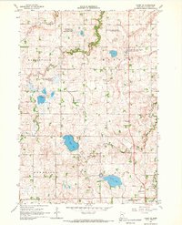
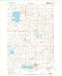
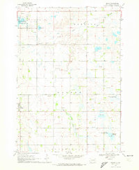
Other maps of this area

1953 · Watertown
USGS Topo · 1:250,000

1958 · Watertown
USGS Topo · 1:250,000
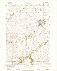
1967 · Canby
USGS Topo · 1:24,000
1967 · Gary
USGS Topo · 1:24,000
1967 · Gary SE
USGS Topo · 1:24,000
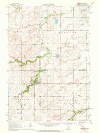
1967 · Canby SE
USGS Topo · 1:24,000
1967 · Hendricks
USGS Topo · 1:24,000
1970 · Brandt
USGS Topo · 1:24,000
1970 · Astoria
USGS Topo · 1:24,000
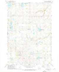
1973 · Lake Francis
USGS Topo · 1:24,000
Featured Places
- Norden Township, SD
- Herrick Township, SD
- Scandinavia Township, SD
- Yellow Medicine County, MN
- Lincoln County, MN