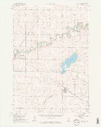
1962 Map of School Grove Lake
USGS Topo · Published 1964About this map
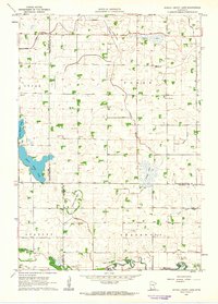
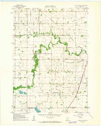
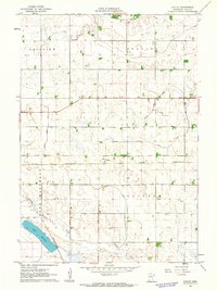
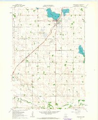
The agricultural landscape of southwest Minnesota is defined by a sophisticated water management system in this early 1960s survey. Extensive drainage projects are recorded through labels like Judicial Ditch No 10 and Judicial Ditch No 46, which crisscross the townships of Lucas, Posen, Stanley, and Underwood. These ditches reveal the transformation of the prairie into productive farmland, often at the expense of local wetlands, as evidenced by the receding shorelines at Twin Lake Bed and Goose Lake Bed.
Find a feature on this map
24 named features on this map. Tap any name to fly to it.
Don’t see what you’re looking for? This feature index may not catch every label — zoom into the map to look around manually.
Map Details
Editions of this 1962 School Grove Lake Map
This is the sole edition of this map. No revisions or reprints were ever made.
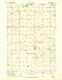
Other maps of this area

1953 · New Ulm
USGS Topo · 1:250,000

1957 · New Ulm
USGS Topo · 1:250,000

1958 · New Ulm
USGS Topo · 1:250,000
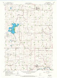
1962 · Wood Lake NW
USGS Topo · 1:24,000
1962 · Dudley
USGS Topo · 1:24,000
1962 · Cottonwood
USGS Topo · 1:24,000
1962 · Wood Lake
USGS Topo · 1:24,000
1962 · Milroy
USGS Topo · 1:24,000
1965 · Echo
USGS Topo · 1:24,000
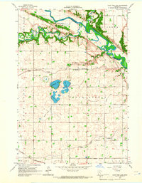
1965 · Lone Tree Lake
USGS Topo · 1:24,000