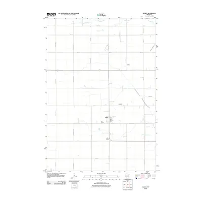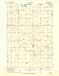
1962 Map of Milroy
USGS Topo · Published 1964About this map
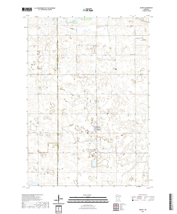
The village of Milroy stands as a central hub on this 1962 survey, situated at the intersection of local rail and road networks in southwestern Minnesota. The landscape is defined by the Chicago And North Western railroad line, which cuts horizontally through the prairie, passing just south of the town center. Outside of the settled area, the geography is heavily shaped by agricultural management, evidenced by the extensive network of managed waterways including Judicial Ditch No 31 and Judicial Ditch No 14, which regulate the drainage into the Redwood River and Clear Creek.
Find a feature on this map
17 named features on this map. Tap any name to fly to it.
Don’t see what you’re looking for? This feature index may not catch every label — zoom into the map to look around manually.
Map Details
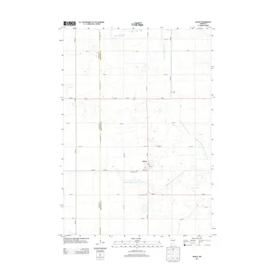
Editions of this 1962 Milroy Map
This is the sole edition of this map. No revisions or reprints were ever made.
Historical Maps of Milroy Through Time
6 maps found