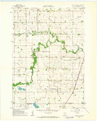
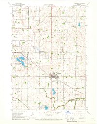
1962 Map of Wood Lake NW
USGS Topo · Published 1963About this map
The Yellow Medicine River winds through a heavily engineered agricultural landscape in this early 1960s study of western Minnesota. The settlement of Hazel Run sits at the northern edge, serving as a hub for the surrounding townships of Friendship, Norman, and Sandnes. This era reveals a transition from natural watercourses to a highly structured drainage system, evidenced by numerous man-made channels such as Judicial Ditch No 2 and County Ditch No 37, which were vital for reclaiming the prairie for cultivation.
Find a feature on this map
26 named features on this map. Tap any name to fly to it.
Don’t see what you’re looking for? This feature index may not catch every label — zoom into the map to look around manually.
Map Details
Editions of this 1962 Wood Lake NW Map
This is the sole edition of this map. No revisions or reprints were ever made.
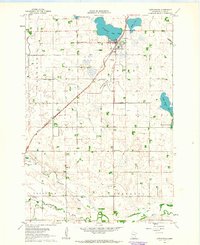
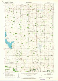
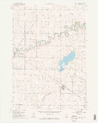
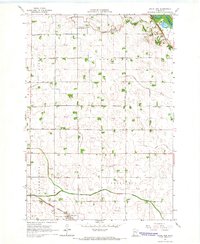
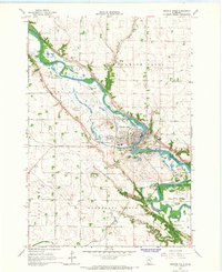
Other maps of this area

1953 · New Ulm
USGS Topo · 1:250,000

1957 · New Ulm
USGS Topo · 1:250,000

1958 · New Ulm
USGS Topo · 1:250,000
1962 · Cottonwood
USGS Topo · 1:24,000
1962 · School Grove Lake
USGS Topo · 1:24,000
1962 · Wood Lake
USGS Topo · 1:24,000
1965 · Clarkfield
USGS Topo · 1:24,000
1965 · Hazel Run
USGS Topo · 1:24,000
1965 · Granite Falls
USGS Topo · 1:24,000

1967 · New Ulm
USGS Topo · 1:250,000