
1965 Map of Hazel Run
USGS Topo · Published 1966About this map
Hazel Run sits at the heart of this mid-1960s landscape, serving as a focal point for the surrounding prairie farmsteads in Yellow Medicine County. The map illustrates a highly organized agricultural grid, heavily modified by a complex system of drainage works including Judicial Ditch No 21 and several numbered county ditches. These engineered waterways, alongside the Yellow Medicine River in the northeast corner, define the region's water management history.
Find a feature on this map
22 named features on this map. Tap any name to fly to it.
Don’t see what you’re looking for? This feature index may not catch every label — zoom into the map to look around manually.
Map Details
Editions of this 1965 Hazel Run Map
This is the sole edition of this map. No revisions or reprints were ever made.
Other maps of this area

1953 · New Ulm
USGS Topo · 1:250,000

1957 · New Ulm
USGS Topo · 1:250,000

1958 · New Ulm
USGS Topo · 1:250,000

1962 · Wood Lake NW
USGS Topo · 1:24,000

1962 · Wood Lake
USGS Topo · 1:24,000

1965 · Montevideo
USGS Topo · 1:24,000

1965 · Clarkfield
USGS Topo · 1:24,000
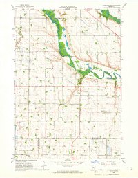
1965 · Clarkfield NE
USGS Topo · 1:24,000

1965 · Asbury
USGS Topo · 1:24,000
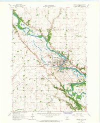
1965 · Granite Falls
USGS Topo · 1:24,000