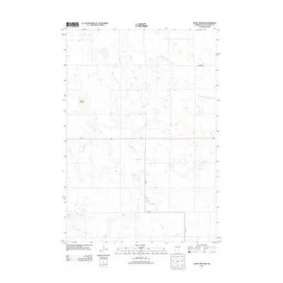
2013 Map of Mount Wickham
USGS Topo · Published 2013About this map
Mount Wickham stands as a prominent topographical feature in this portion of Lac qui Parle County, overlooking a landscape defined by an extensive network of managed waterways and agricultural drainage. The hydrologic patterns of the region are clearly visible, with County Ditch Number Seventeen and various branches of Florida Cr channeling water across the terrain. These man-made and natural features reflect the area's deep-rooted reliance on land management for cultivation.
Find a feature on this map
12 named features on this map. Tap any name to fly to it.
Don’t see what you’re looking for? This feature index may not catch every label — zoom into the map to look around manually.
Map Details
Editions of this 2013 Mount Wickham Map
This is the sole edition of this map. No revisions or reprints were ever made.
Other maps of this area

1953 · Bellingham
USGS Topo · 1:62,500

1953 · Milbank
USGS Topo · 1:250,000

1953 · Watertown
USGS Topo · 1:250,000

1958 · Milbank
USGS Topo · 1:250,000

1958 · Watertown
USGS Topo · 1:250,000

1958 · Madison
USGS Topo · 1:24,000

1967 · Dawson SW
USGS Topo · 1:24,000

1967 · Gary
USGS Topo · 1:24,000

1967 · Gary SE
USGS Topo · 1:24,000

1967 · Gary NW
USGS Topo · 1:24,000