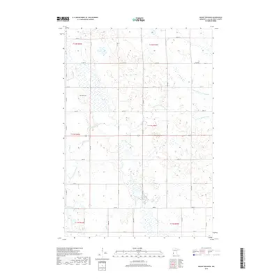
2019 Map of Mount Wickham
USGS Topo · Published 2019About this map
W Br Lac qui Parle River and its various tributaries define this prairie landscape in western Lac qui Parle County. The terrain is characterized by subtle elevation changes, most notably at Mt Wickham, surrounded by a network of drainage systems such as County Ditch Number Seventeen and Florida Cr. This environment reveals a rural settlement pattern deeply integrated with the local hydrology, where seasonal wetlands like Bolland Slough and waterways like Lost Cr influence the placement of farmsteads and transport routes. The small community of Frontenac serves as a local landmark, anchored by the Lutheran Cem. A rigid grid of section-line roads, including Co HWY 14 and 181st Ave, organizes the agricultural landscape, showing how modern infrastructure has adapted to the natural flow of the prairie's watersheds.
Find a feature on this map
37 named features on this map. Tap any name to fly to it.
Don’t see what you’re looking for? This feature index may not catch every label — zoom into the map to look around manually.
Map Details
Editions of this 2019 Mount Wickham Map
This is the sole edition of this map. No revisions or reprints were ever made.
Other maps of this area

1953 · Bellingham
USGS Topo · 1:62,500

1953 · Milbank
USGS Topo · 1:250,000

1953 · Watertown
USGS Topo · 1:250,000

1958 · Milbank
USGS Topo · 1:250,000

1958 · Watertown
USGS Topo · 1:250,000

1958 · Madison
USGS Topo · 1:24,000

1967 · Dawson SW
USGS Topo · 1:24,000

1967 · Gary
USGS Topo · 1:24,000

1967 · Gary SE
USGS Topo · 1:24,000

1967 · Gary NW
USGS Topo · 1:24,000