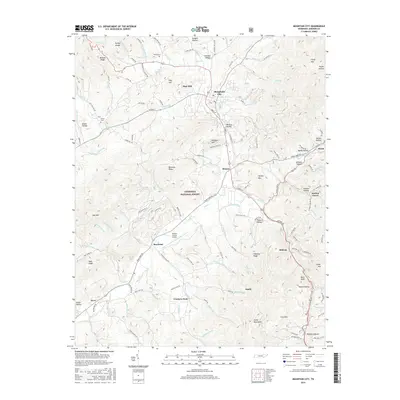
2016 Map of Mountain City
USGS Topo · Published 2016About this map
Mountain City serves as the central hub of this Johnson County landscape, where the valley floor meets the high ridges of the Cherokee National Forest. The settlement pattern follows the drainage of Roan Creek and its many tributaries, including Town Creek and Doe Creek, with small communities like Shouns, Maymead, and Neva established along these watercourses. This 2016 survey documents the modern layout of the region, including the Johnson County Airport and a network of secondary roads such as Roan Creek Road and Vaughts Gap Road that connect isolated hollows. Genealogy researchers will find family-named landmarks such as Phillips Cem and Wilson Cem, alongside distinctive terrain features like Holy Hill, Rainbow Ridge, and Forge Mountain. The map illustrates the transition from the concentrated residential streets of the county seat to the protected forest lands and high points like Doe Mountain.
Find a feature on this map
144 named features on this map. Tap any name to fly to it.
Don’t see what you’re looking for? This feature index may not catch every label — zoom into the map to look around manually.
Map Details
Editions of this 2016 Mountain City Map
This is the sole edition of this map. No revisions or reprints were ever made.
Other maps of this area

1891 · Abingdon
USGS Topo · 1:125,000

1893 · Cranberry
USGS Topo · 1:125,000

1894 · Abingdon
USGS Topo · 1:125,000

1895 · Cranberry
USGS Topo · 1:125,000

1899 · Cranberry
USGS Topo · 1:125,000

1902 · Cranberry
USGS Topo · 1:125,000

1909 · Abingdon
USGS Topo · 1:96,000

1911 · Abingdon
USGS Topo · 1:125,000
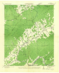
1935 · Doe
USGS Topo · 1:24,000

1935 · Grayson
USGS Topo · 1:24,000