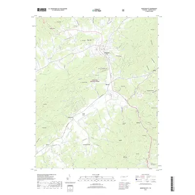
2019 Map of Mountain City
USGS Topo · Published 2019About this map
Mountain City serves as the central hub of this northeast Tennessee landscape, where the town grid transitions into the steep ridges and hollows of the Cherokee National Forest. The map documents a valley floor defined by a network of creeks including Roan Creek and Doe Cr, which have historically shaped the agricultural and settlement patterns of the region. Local genealogy is well-represented through family-named landmarks and resting places such as Phillips Cem near Turkey Knobs and Wilson Cem further south.
Find a feature on this map
79 named features on this map. Tap any name to fly to it.
Don’t see what you’re looking for? This feature index may not catch every label — zoom into the map to look around manually.
Map Details
Editions of this 2019 Mountain City Map
This is the sole edition of this map. No revisions or reprints were ever made.
Other maps of this area

1891 · Abingdon
USGS Topo · 1:125,000

1893 · Cranberry
USGS Topo · 1:125,000

1894 · Abingdon
USGS Topo · 1:125,000

1895 · Cranberry
USGS Topo · 1:125,000

1899 · Cranberry
USGS Topo · 1:125,000

1902 · Cranberry
USGS Topo · 1:125,000

1909 · Abingdon
USGS Topo · 1:96,000

1911 · Abingdon
USGS Topo · 1:125,000
1935 · Doe
USGS Topo · 1:24,000

1935 · Grayson
USGS Topo · 1:24,000