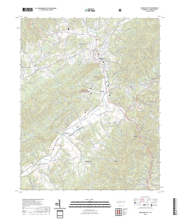
2022 Map of Mountain City
USGS Topo · Published 2022About this map
Mountain City serves as the central hub of this high-elevation corner of Tennessee, with the Johnson County Courthouse anchoring the town’s grid. The surrounding landscape is defined by the steep rises of Forge Mtn, Rainbow Mtn, and Doe Mtn, creating a series of valleys where agriculture and settlement concentrate along the winding path of Roan Cr. This recent survey reveals a distribution of family heritage markers, from the Samuel E McQueen Family Cem to the Trivette Family Cem, reflecting generations of deep-rooted local history.
Find a feature on this map
181 named features on this map. Tap any name to fly to it.
Don’t see what you’re looking for? This feature index may not catch every label — zoom into the map to look around manually.
Map Details
Editions of this 2022 Mountain City Map
This is the sole edition of this map. No revisions or reprints were ever made.
Other maps of this area

1891 · Abingdon
USGS Topo · 1:125,000

1893 · Cranberry
USGS Topo · 1:125,000

1894 · Abingdon
USGS Topo · 1:125,000

1895 · Cranberry
USGS Topo · 1:125,000

1899 · Cranberry
USGS Topo · 1:125,000

1902 · Cranberry
USGS Topo · 1:125,000

1909 · Abingdon
USGS Topo · 1:96,000

1911 · Abingdon
USGS Topo · 1:125,000
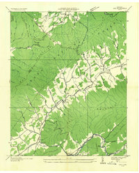
1935 · Doe
USGS Topo · 1:24,000

1935 · Grayson
USGS Topo · 1:24,000