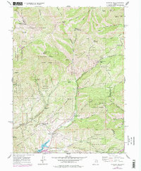
1961 Map of Mountain Dell
USGS Topo · Published 1978About this map
The historical Mormon Pioneers Route of Donner Reed Party winds through the high canyons and passes of the Wasatch National Forest on this 1961 topographic survey, revised in 1975. This area is defined by the convergence of early western migration trails and mid-century utility infrastructure, such as the Pipeline corridors and the Mountain Dell Reservoir. Landmarks like the Ephraim Hanks Station Pony Express Marker and the Last Camp monument emphasize the site's importance as a gateway to the Salt Lake Valley.
Find a feature on this map
57 named features on this map. Tap any name to fly to it.
Don’t see what you’re looking for? This feature index may not catch every label — zoom into the map to look around manually.
Map Details
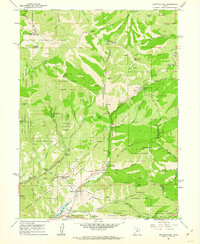
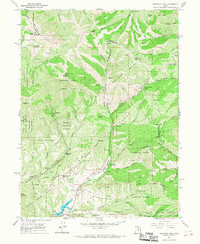
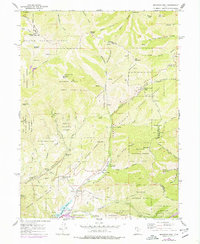
Editions of this 1961 Mountain Dell Map
4 editions found
Other maps of this area

1885 · Salt Lake
USGS Topo · 1:250,000

1925 · Ft. Douglas
USGS Topo · 1:125,000

1928 · Ft. Douglas
USGS Topo · 1:125,000

1950 · Fort Douglas
USGS Topo · 1:24,000

1951 · Fort Douglas
USGS Topo · 1:24,000

1952 · Sugar House
USGS Topo · 1:24,000

1952 · Bountiful Peak
USGS Topo · 1:24,000

1954 · Salt Lake City
USGS Topo · 1:250,000

1955 · Mount Aire
USGS Topo · 1:24,000

1955 · Park City West
USGS Topo · 1:24,000