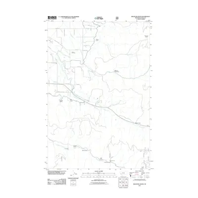
2011 Map of Mountain House
USGS Topo · Published 2011About this map
Mountain House sits at the foot of the Sapphire Mountains in this 2011 survey of Ravalli County, Montana. The landscape is defined by the drainage networks of Skalkaho Creek and Sleeping Child Creek, which cut deep through the terrain alongside numerous named gulches. The area shows a mix of recreational and industrial development, from the Hamilton Golf Course in the northwest to the SW NE Section 2 Mine situated near Falls Gulch in the south.
Find a feature on this map
52 named features on this map. Tap any name to fly to it.
Don’t see what you’re looking for? This feature index may not catch every label — zoom into the map to look around manually.
Map Details
Editions of this 2011 Mountain House Map
This is the sole edition of this map. No revisions or reprints were ever made.
Other maps of this area

1901 · Hamilton
USGS Topo · 1:125,000

1909 · Sapphire
USGS Topo · 1:125,000

1947 · Butte
USGS Topo · 1:250,000

1956 · Hamilton
USGS Topo · 1:250,000

1958 · Butte
USGS Topo · 1:250,000

1959 · Hamilton
USGS Topo · 1:250,000

1960 · Butte
USGS Topo · 1:250,000

1960 · Hamilton
USGS Topo · 1:250,000

1962 · Butte
USGS Topo · 1:250,000

1964 · Hamilton
USGS Topo · 1:250,000