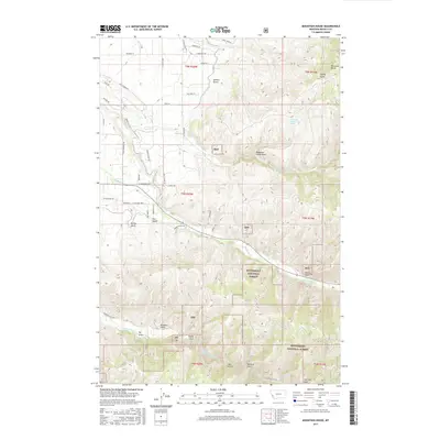
2017 Map of Mountain House
USGS Topo · Published 2017About this map
Bitterroot National Forest dominates the southern and eastern landscape of this Ravalli County region, where the terrain is deeply incised by a network of gulches and draws. The eponymous Mountain House sits in the northeast corner near Mountain House Spring, overlooking Mountain House Draw. This area transition from the structured residential roads in the northwest, such as Golf Course Rd and Tammany Ln, to the steep, forested elevations of the sapphire-bearing mountains.
Find a feature on this map
53 named features on this map. Tap any name to fly to it.
Don’t see what you’re looking for? This feature index may not catch every label — zoom into the map to look around manually.
Map Details
Editions of this 2017 Mountain House Map
This is the sole edition of this map. No revisions or reprints were ever made.
Other maps of this area

1901 · Hamilton
USGS Topo · 1:125,000

1909 · Sapphire
USGS Topo · 1:125,000

1947 · Butte
USGS Topo · 1:250,000

1956 · Hamilton
USGS Topo · 1:250,000

1958 · Butte
USGS Topo · 1:250,000

1959 · Hamilton
USGS Topo · 1:250,000

1960 · Butte
USGS Topo · 1:250,000

1960 · Hamilton
USGS Topo · 1:250,000

1962 · Butte
USGS Topo · 1:250,000

1964 · Hamilton
USGS Topo · 1:250,000