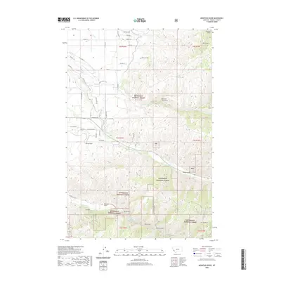
2020 Map of Mountain House
USGS Topo · Published 2020About this map
Bitterroot National Forest covers much of this Ravalli County terrain, where the mountain landscape is defined by a dense network of gulches and draws. The eponymous Mtn House and Mountain House Spring sit near Charleys Gulch in the northeast, marking a high point above the drainage basins. Waterways such as Skalkaho Cr, Sleeping Child Cr, and Gird Cr carve through the slopes, creating a rugged geography that historically dictated access to the region's timber and mineral resources.
Find a feature on this map
55 named features on this map. Tap any name to fly to it.
Don’t see what you’re looking for? This feature index may not catch every label — zoom into the map to look around manually.
Map Details
Editions of this 2020 Mountain House Map
This is the sole edition of this map. No revisions or reprints were ever made.
Other maps of this area

1901 · Hamilton
USGS Topo · 1:125,000

1909 · Sapphire
USGS Topo · 1:125,000

1947 · Butte
USGS Topo · 1:250,000

1956 · Hamilton
USGS Topo · 1:250,000

1958 · Butte
USGS Topo · 1:250,000

1959 · Hamilton
USGS Topo · 1:250,000

1960 · Butte
USGS Topo · 1:250,000

1960 · Hamilton
USGS Topo · 1:250,000

1962 · Butte
USGS Topo · 1:250,000

1964 · Hamilton
USGS Topo · 1:250,000