Loading...
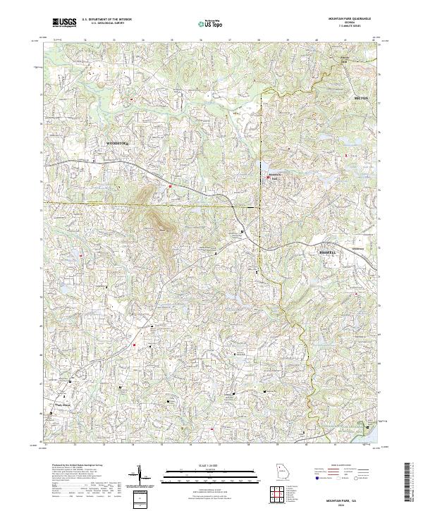
Loading map...2024 Map of Mountain Park
USGS Topo · Published 2024About this map
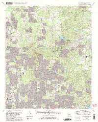
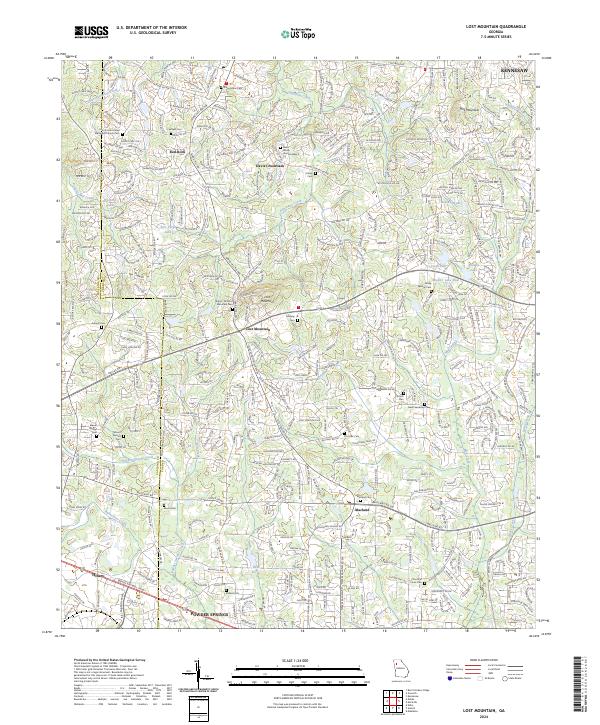
Sweat Mtn stands as a prominent topographical feature in this northern Georgia corridor, where the suburban reaches of Woodstock, Roswell, and Milton converge. The landscape is defined by a dense network of residential development interspersed with numerous small bodies of water, including Gordy Lake, Fulton Lake, and Maddox Lake. The Little River winds through the northern section, while Willeo Creek and Rubes Creek drain the surrounding hills.
Find a feature on this map
54 named features on this map. Tap any name to fly to it.
Don’t see what you’re looking for? This feature index may not catch every label — zoom into the map to look around manually.
Map Details
Date Portrayed2024
Date Published2024
PublisherU.S. Geological Survey
Map TypeTopographic
Scale1:24000
Physical Dimensions24 x 29 inches
Editions of this 2024 Mountain Park Map
This is the sole edition of this map. No revisions or reprints were ever made.
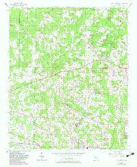
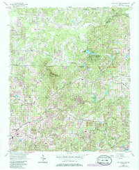
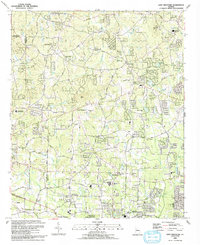
Historical Maps of Tomahawk Through Time
6 maps found
Featured Locations
Source Details
SourceU.S. Geological Survey
CopyrightPublic Domain