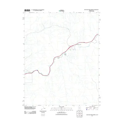
2011 Map of Mountain Sheep Spring
USGS Topo · Published 2011About this map
The Virgin River carves a central path through this arid landscape on the border of Arizona and Utah, creating the dramatic geological constriction known as The Narrows. This 2011 survey documents the corridor where Interstate 15 follows the river's winding course, a modern engineering feat that threads through deep canyons. Historically significant drainage patterns are visible in the surrounding terrain, including Sullivans Canyon and Mountain Sheep Wash. Away from the main transit artery, the presence of Mountain Sheep Spring indicates the scarce but vital water sources that have sustained movement through this high desert region for generations. The map also captures local infrastructure like Farm Rd and the broad alluvial reaches of Cedar Pockets Wash, illustrating the intersection of natural topography and human passage.
Find a feature on this map
7 named features on this map. Tap any name to fly to it.
Don’t see what you’re looking for? This feature index may not catch every label — zoom into the map to look around manually.
Map Details
Editions of this 2011 Mountain Sheep Spring Map
2 editions found
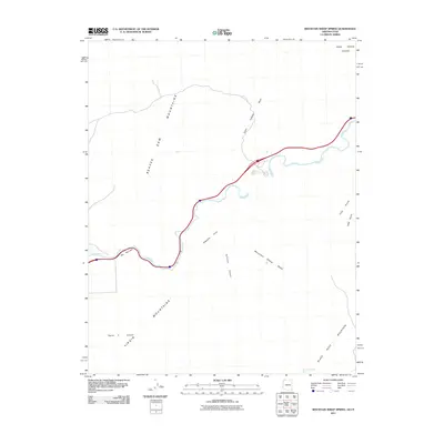
Other maps of this area

1885 · St. George
USGS Topo · 1:250,000

1886 · Mt. Trumbull
USGS Topo · 1:250,000

1891 · St. George
USGS Topo · 1:250,000

1892 · Mt. Trumbull
USGS Topo · 1:250,000

1953 · Cedar City
USGS Topo · 1:250,000

1953 · Grand Canyon
USGS Topo · 1:250,000

1954 · Wolf Hole Mtn. NW
USGS Topo · 1:24,000

1954 · Beaver Dam Mts SE
USGS Topo · 1:24,000

1954 · St. George
USGS Topo · 1:62,500

1954 · Littlefield
USGS Topo · 1:62,500