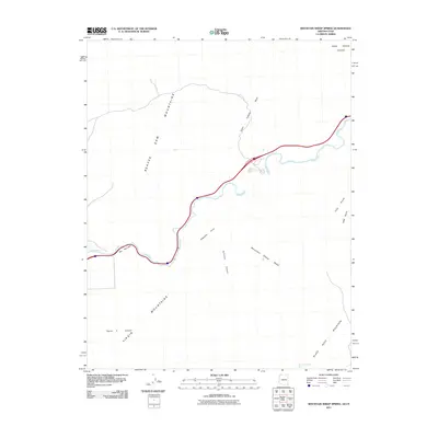
2011 Map of Mountain Sheep Spring
USGS Topo · Published 2011About this map
The Virgin River cuts a deep path through the arid high desert, passing through a constrained gorge known as The Narrows as it flows between the Beaver Dam Mountains and the Virgin Mountains. This 2011 survey documents a landscape defined by significant drainage systems and vertical relief, including Sullivans Canyon and Figure 4 Canyon. Water sources are critical markers in this environment, represented here by the secluded Mountain Sheep Spring and various ephemeral channels like Cedar Pockets Wash and Mountain Sheep Wash.
Find a feature on this map
14 named features on this map. Tap any name to fly to it.
Don’t see what you’re looking for? This feature index may not catch every label — zoom into the map to look around manually.
Map Details
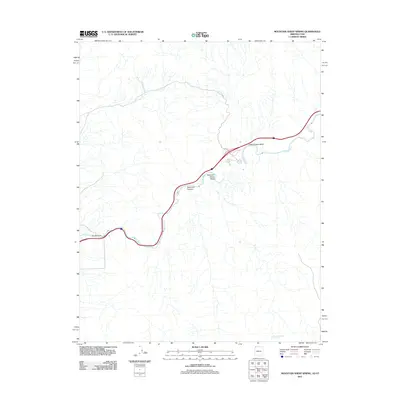
Editions of this 2011 Mountain Sheep Spring Map
2 editions found
Other maps of this area

1885 · St. George
USGS Topo · 1:250,000

1886 · Mt. Trumbull
USGS Topo · 1:250,000

1891 · St. George
USGS Topo · 1:250,000

1892 · Mt. Trumbull
USGS Topo · 1:250,000

1953 · Cedar City
USGS Topo · 1:250,000

1953 · Grand Canyon
USGS Topo · 1:250,000

1954 · Wolf Hole Mtn. NW
USGS Topo · 1:24,000

1954 · Beaver Dam Mts SE
USGS Topo · 1:24,000

1954 · St. George
USGS Topo · 1:62,500

1954 · Littlefield
USGS Topo · 1:62,500