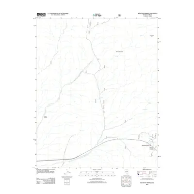
2012 Map of Mountain Springs
USGS Topo · Published 2012About this map
Mountain Springs serves as the focal point of this high-elevation landscape within the Spring Mountains, where the rugged desert terrain is marked by a vital network of water sources. The map details the pass at Mountain Springs Summit, a critical passage through the range that has long influenced travel patterns between the valleys. The geography is defined by deep incisions like Lovell Canyon and Lovell Wash, which channel seasonal runoff away from the prominent Sandstone Bluff. A concentration of named water features, including Mule Spring, Rainbow Spring, and Warner Spring, highlights the essential nature of these rare desert resources for both early travelers and modern land management. Transportation is represented by the alignment of Sandy Valley Rd and Pahrump Rd, showing the modern connectivity through this arid environment.
Find a feature on this map
15 named features on this map. Tap any name to fly to it.
Don’t see what you’re looking for? This feature index may not catch every label — zoom into the map to look around manually.
Map Details
Editions of this 2012 Mountain Springs Map
This is the sole edition of this map. No revisions or reprints were ever made.
Other maps of this area

1907 · Las Vegas
USGS Topo · 1:250,000

1908 · Las Vegas
USGS Topo · 1:250,000

1910 · Ivanpah
USGS Topo · 1:250,000

1912 · Ivanpah
USGS Topo · 1:250,000

1942 · Ivanpah
USGS Topo · 1:250,000

1947 · Kingman
USGS Topo · 1:250,000

1948 · Kingman
USGS Topo · 1:250,000

1952 · Blue Diamond
USGS Topo · 1:62,500

1954 · Las Vegas
USGS Topo · 1:250,000

1954 · Kingman
USGS Topo · 1:250,000