
1957 Map of Mountain Springs
USGS Topo · Published 1959About this map
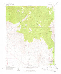
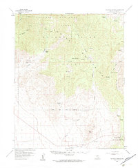
Mountain Springs serves as the primary outpost in this high-altitude landscape within the Toiyabe National Forest, where the Spring Mountains define the terrain. The map documents a network of isolated homesteads and water sources critical to life in the arid Great Basin, including the Williams Ranch, Lower Williams Ranch, and Roberts Ranch. This mid-century survey captures the region's reliance on natural hydrology, identifying numerous remote water points such as Lost Cabin Spring, Bootleg Spring, and Mule Spring. Significant topographical features like Lovell Summit and the dramatic passage of The Narrows in Lovell Canyon illustrate the complex geography. A Jeep Trail provides one of the few managed routes through the southern portion, crossing the Desert Game Range Boundary near the Mountain Springs Summit.
Find a feature on this map
47 named features on this map. Tap any name to fly to it.
Don’t see what you’re looking for? This feature index may not catch every label — zoom into the map to look around manually.
Map Details
Editions of this 1957 Mountain Springs Map
3 editions found
Other maps of this area

1907 · Las Vegas
USGS Topo · 1:250,000

1908 · Las Vegas
USGS Topo · 1:250,000

1910 · Ivanpah
USGS Topo · 1:250,000

1912 · Ivanpah
USGS Topo · 1:250,000

1942 · Ivanpah
USGS Topo · 1:250,000

1947 · Kingman
USGS Topo · 1:250,000

1948 · Kingman
USGS Topo · 1:250,000

1952 · Corn Creek Springs
USGS Topo · 1:62,500

1952 · Blue Diamond
USGS Topo · 1:62,500

1954 · Las Vegas
USGS Topo · 1:250,000