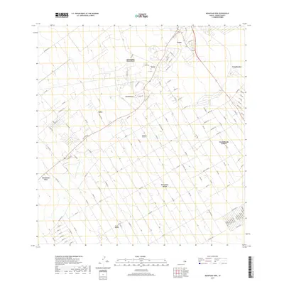
2017 Map of Mountain View
USGS Topo · Published 2017About this map
Kurtistown and the surrounding residential tracts on the Island of Hawai‘i reflect a distinct pattern of 21st-century rural development and agricultural legacy. The landscape is defined by extensive, rectilinear road networks serving subdivisions like Hawaiian Acres and Fern Acres, which contrast with the older, more localized settlements along the transit corridors. These corridors, including Old Volcano Rd and the Stainback Hwy, connect historic points of interest such as the Kurtistown Jodo Cem and Elevenmile Homestead. To the northeast, the transition from these residential tracts to the more concentrated centers of Keaau and Waipāhoehoe is visible. The map provides a precise record of local infrastructure, from small camps like Kukui Camp Rd to the expanding boundaries of Orchidlands Estates, illustrating the intersection of traditional homesteading and modern island expansion.
Find a feature on this map
106 named features on this map. Tap any name to fly to it.
Don’t see what you’re looking for? This feature index may not catch every label — zoom into the map to look around manually.
Map Details
Editions of this 2017 Mountain View Map
This is the sole edition of this map. No revisions or reprints were ever made.
Other maps of this area

1917 · Hilo
USGS Topo · 1:62,500

1922 · Puna
USGS Topo · 1:62,500

1924 · Makuu
USGS Topo · 1:62,500

1924 · Puna
USGS Topo · 1:62,500

1924 · Kalapana
USGS Topo · 1:62,500

1932 · Hilo
USGS Topo · 1:62,500

1954 · Hawaii South
USGS Topo · 1:250,000

1954 · Hawaii North
USGS Topo · 1:250,000

1959 · Hawaii South
USGS Topo · 1:250,000

1959 · Hawaii North
USGS Topo · 1:250,000