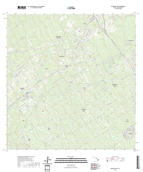
2024 Map of Mountain View
USGS Topo · Published 2024About this map
Mountain View and its neighboring agricultural and residential settlements sit along the slopes of the Island of Hawai'i, where the Hawaii Belt Rd serves as the primary artery for the region. The landscape is defined by a distinct pattern of long, narrow lots and homesteads, particularly visible at Elevenmile Homestead and the extensive grid of Hawaiian Acres. This area serves as a focal point for local history and genealogy, containing several significant community sites including the Mountain View Community Cem, the Filipino Cem, and the Jodo Cem near Kurtistown. Small residential enclaves like Uetama Camp and Eden Roc are dispersed among the native forest and agricultural tracts. The infrastructure includes local aviation history at the Mountain View Airstrip and numerous established subdivisions such as Orchidlands Estates, Fern Acres, and Ainaloa, reflecting the ongoing residential development of the Puna district.
Find a feature on this map
136 named features on this map. Tap any name to fly to it.
Don’t see what you’re looking for? This feature index may not catch every label — zoom into the map to look around manually.
Map Details
Editions of this 2024 Mountain View Map
This is the sole edition of this map. No revisions or reprints were ever made.
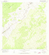
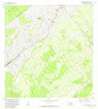
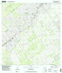
Historical Maps of Keaau Through Time
4 maps found