1994 Map of Mountain View
USGS Topo · Published 2002About this map
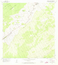
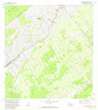
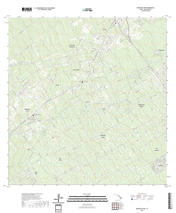
Mountain View and Kurtistown anchor this detailed study of the Puna District landscape in the mid-1990s. The settlement pattern reflects the island's agricultural and industrial heritage, visible in the named camps such as Nine and Onehalf Mile Camp, Kea'au Camp, and Ninemic Camp, which hint at the former proximity of plantation infrastructure and transport routes. Residential and homesteading development is evident at Elevenmile Homestead and the Kukui area, set against the backdrop of significant forest management zones including the Waiākea Forest Reserve and Ola'a Reservation.
Find a feature on this map
56 named features on this map. Tap any name to fly to it.
Don’t see what you’re looking for? This feature index may not catch every label — zoom into the map to look around manually.
Map Details
Editions of this 1994 Mountain View Map
This is the sole edition of this map. No revisions or reprints were ever made.
Historical Maps of Kopua Farm Lots Through Time
6 maps found