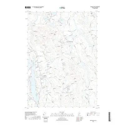
2018 Map of Mousam Lake
USGS Topo · Published 2018About this map
Mousam Lake and Square Pond dominate the western edge of this York County landscape, where the interconnected waterways once powered the rural economy. In the early 21st century, the area around Shapleigh and Ross Corner remains a dense network of family-named sites, reflecting a deep history of local settlement. The map is particularly notable for its high concentration of small family burial grounds, including the Ridley Family Cem, Isreal Coffin Cem, and the Chase Newbegin Cem. Elevations like Mann Mtn and Zekes Mtn rise between the valleys of the Little Ossipee River and Pump Box Brook. The distribution of these landmarks, alongside many others like the Abbott Mountain Road Cem, suggests a long-standing community structure tied closely to the ridges and brooks of the Maine interior.
Find a feature on this map
172 named features on this map. Tap any name to fly to it.
Don’t see what you’re looking for? This feature index may not catch every label — zoom into the map to look around manually.
Map Details
Editions of this 2018 Mousam Lake Map
This is the sole edition of this map. No revisions or reprints were ever made.
Other maps of this area

1891 · Berwick
USGS Topo · 1:62,500

1891 · Kennebunk
USGS Topo · 1:62,500

1891 · Buxton
USGS Topo · 1:62,500

1891 · Newfield
USGS Topo · 1:62,500

1892 · Buxton
USGS Topo · 1:62,500

1893 · Kennebunk
USGS Topo · 1:62,500

1893 · Berwick
USGS Topo · 1:62,500

1893 · Buxton
USGS Topo · 1:62,500

1893 · Newfield
USGS Topo · 1:62,500

1898 · Kennebunk
USGS Topo · 1:62,500