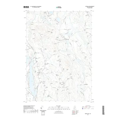
2021 Map of Mousam Lake
USGS Topo · Published 2021About this map
Mousam Lake and Square Pond dominate this York County landscape, where the town of Shapleigh and the community of Ross Corner serve as central hubs for a network of rural roads. The area is defined by a dense concentration of family burial grounds, providing a significant genealogical resource for the region. Names such as the Maturin Abbott Cem, Chick Family Cem, and Deacon Ahira Baker Cem are preserved alongside the terrain of Abbott Mtn and Ross Mtn. In the eastern section, the Middle Branch Mousam River winds southward toward North Alfred, passing under the Clarks Bridge Rd. The landscape's transition from high ridges like Ft Ridge to lowland brooks such as Jones Brook and Conant Brook illustrates the varied topography of this Maine interior.
Find a feature on this map
177 named features on this map. Tap any name to fly to it.
Don’t see what you’re looking for? This feature index may not catch every label — zoom into the map to look around manually.
Map Details
Editions of this 2021 Mousam Lake Map
This is the sole edition of this map. No revisions or reprints were ever made.
Other maps of this area

1891 · Berwick
USGS Topo · 1:62,500

1891 · Kennebunk
USGS Topo · 1:62,500

1891 · Buxton
USGS Topo · 1:62,500

1891 · Newfield
USGS Topo · 1:62,500

1892 · Buxton
USGS Topo · 1:62,500

1893 · Kennebunk
USGS Topo · 1:62,500

1893 · Berwick
USGS Topo · 1:62,500

1893 · Buxton
USGS Topo · 1:62,500

1893 · Newfield
USGS Topo · 1:62,500

1898 · Kennebunk
USGS Topo · 1:62,500