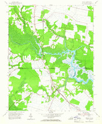
1954 Map of Moyock
USGS Topo · Published 1965About this map
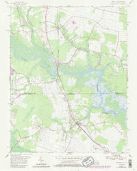
The Norfolk Southern railroad cuts a diagonal path through this coastal borderland, connecting the crossroads of Saint Brides and Moyock across the state line between Virginia and North Carolina. This mid-century survey reveals a landscape defined by the winding Northwest River and its intricate tributaries, such as Indian Creek and Smith Creek. The area's social fabric is anchored by numerous rural congregations, including Willow Grove Ch, Pleasant Grove Ch, and Northwest Ch. Away from the main settlements, the map details specialized land use, from the U S Naval Reservation on the western edge to a Racetrack north of Moyock. Drainage and water management are evident in features like the Guinea Mill Run Canal, reflecting the ongoing agricultural and timber-based economy of Currituck and Norfolk counties in the 1950s.
Find a feature on this map
26 named features on this map. Tap any name to fly to it.
Don’t see what you’re looking for? This feature index may not catch every label — zoom into the map to look around manually.
Map Details
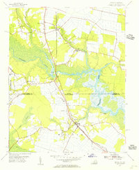
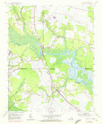
Editions of this 1954 Moyock Map
5 editions found
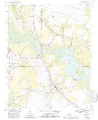
Other maps of this area

1939 · Moyock
USGS Topo · 1:62,500

1940 · Lake Drummond
USGS Topo · 1:62,500

1940 · South Mills
USGS Topo · 1:62,500

1945 · Lake Drummond
USGS Topo · 1:62,500

1946 · Moyock
USGS Topo · 1:62,500

1948 · Elizabeth City
USGS Topo · 1:62,500

1952 · South Mills
USGS Topo · 1:62,500

1953 · Norfolk
USGS Topo · 1:250,000
1954 · Fentress
USGS Topo · 1:24,000
1954 · Pleasant Ridge
USGS Topo · 1:24,000