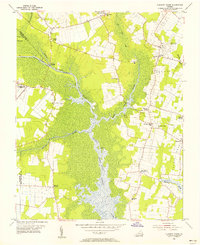
1954 Map of Pleasant Ridge
USGS Topo · Published 1956About this map
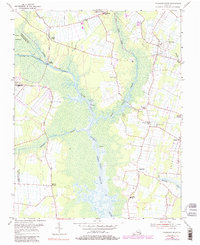
Princess Anne serves as a focal point at the northern edge of this coastal landscape, where the North Landing River winds through a vast expanse of Gum Swamp. The mid-1950s geography is defined by the intersection of traditional agricultural life and vital maritime transit, with the Albemarle and Chesapeake Canal and the Intracoastal Waterway facilitating movement through the wetlands. Smaller settlements like Pungo, Pleasant Ridge, and the evocatively named Land of Promise are connected by a network of rural roads, each anchored by local landmarks such as Courthouse Sch and Pleasant Ridge Ch. The presence of the U S Naval Res (Fentress Landing Field) and the Pungo Field (Abandoned) reflects the military and aviation footprints in the region during the post-war era.
Find a feature on this map
32 named features on this map. Tap any name to fly to it.
Don’t see what you’re looking for? This feature index may not catch every label — zoom into the map to look around manually.
Map Details
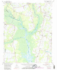
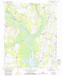
Editions of this 1954 Pleasant Ridge Map
7 editions found
Other maps of this area

1893 · Virginia Beach
USGS Topo · 1:125,000

1907 · Norfolk
USGS Topo · 1:125,000

1916 · Back Bay
USGS Topo · 1:62,500

1918 · Cape Henry
USGS Topo · 1:62,500

1919 · Cape Henry
USGS Topo · 1:62,500

1939 · Moyock
USGS Topo · 1:62,500

1943 · Back Bay
USGS Topo · 1:62,500

1946 · Moyock
USGS Topo · 1:62,500

1946 · Eastville
USGS Topo · 1:250,000

1946 · Currituck Sound
USGS Topo · 1:250,000